Standing Stones, Menhirs · Prehistory / Early History
Uhrenstein-Menhir


Description
This description is only available in German.
Translate with Google opens this page in Google Translate (external service)
Am Ende der Straße Zur Windschnur, circa 300 Meter vor der Kapelle Maria Hilf.
Uhrenstein = Urgestein, der dort seit Menschengedenken liegt.
Classification
- Subject area
- Archaeological Monuments
- Category
- Standing Stones, Menhirs
- Date
- Bis circa 500 vor Chr.
Location
- District
- Bernkastel-Wittlich
- Collective municipality
- Bernkastel-Kues
- Municipality
- Monzelfeld
- Street
- Zur Windschnur
- Field name
- Auf der Breitwies
- Coordinates
- WGS 84: 49.896899, 7.079968 (Position: exact) WGS 84: 49° 53′ 48.8″ N, 7° 04′ 47.9″ E UTM 32 (ETRS89): E 362107 · N 5528935
Sources
Data sources
- Hubertus Schulze-Neuhoff, Diplom-Meteorologe, Traben-Trarbach (Starkenburg)
On the internet
Picture credits
Last edited: 26 Jun 2010 Object ID: 9227
https://kulturdb.de/en/objekt/9227-monzelfeld-uhrenstein-menhir
Nearby
The nearest objects
No picture
80 m
Field Names
Auf der Breitwies
No picture
170 m
Field Names
Erdelbornheid
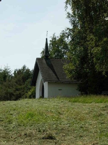 240 m
Chapels
Marienkapelle
No picture
270 m
Field Names
Breitwies
No picture
410 m
Field Names
Unten im Schnittenrech
No picture
480 m
Field Names
Pfaffenfelder
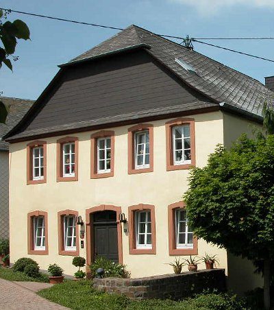 620 m
Rectories
Ehemaliges Pfarrhaus
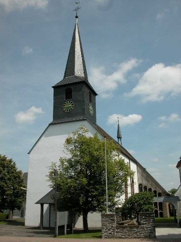 620 m
Catholic Churches