Viewpoints · Undated
Aussichtspunkt Metzen-Kapelle


© GeoBasis-DE / LVermGeoRP, dl-de/by-2-0
There is no picture of this object yet. Do you have a photo that you would like to make available to the Kulturdatenbank? Submit a picture
Description
This description is only available in German.
Translate with Google opens this page in Google Translate (external service)
[...] Der Aufgang zur Kapelle hat 66 Stufen. Man hat von dort einen schönen Ausblick auf die beiden Ortsteile Spang und Dahlem. [1]
Classification
- Subject area
- Natural Features
- Category
- Viewpoints
- Date
- Undatiert
- Period
- Undated
Location
- District
- Eifelkreis Bitburg-Prüm
- Collective municipality
- Speicher
- Municipality
- Spangdahlem
- Locality / location
- Dahlem
- Field name
- Ober der Landmauer
- Coordinates
- WGS 84: 49.993514, 6.687055 (Position: exact) WGS 84: 49° 59′ 36.7″ N, 6° 41′ 13.4″ E UTM 32 (ETRS89): E 334223 · N 5540473
Sources
Data sources
- [1] Matthias Thömmes - Hermann Schmitz: Kirchen und Kapellen im Speicherer Land. Arbeitskreis für Heimatgeschichte und -literatur im Eifelverein Ortsgruppe Speicher. 2004. ISBN: 3-00-014814-0
On the internet
Last edited: 13 May 2014 Object ID: 9455
https://kulturdb.de/en/objekt/9455-spangdahlem-aussichtspunkt-metzen-kapelle
Nearby
The nearest objects
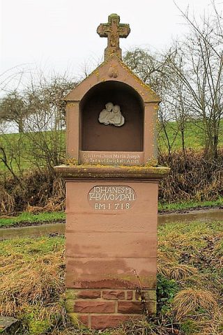 20 m
Wayside Shrine Houses
Sogenannte Metzen-Kapelle
Street Names
Burgstraße
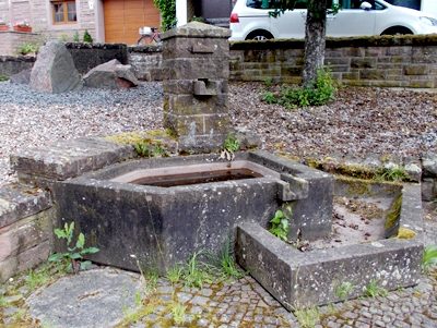 360 m
Fountains and Wells
Laufbrunnen
Field Names
Auf Schrutenpesch
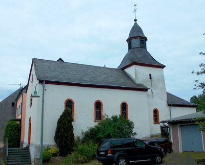 420 m
Catholic Churches
Sankt Hubert
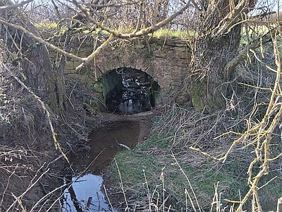 430 m
Road Transport
Brücke über den Katzenbach
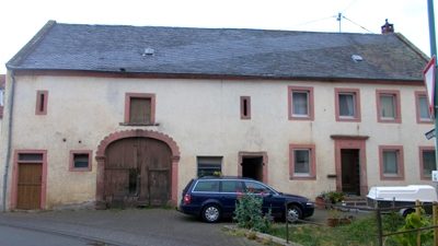 460 m
Town Houses and Commercial Buildings
Quereinhaus
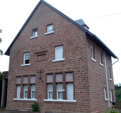 510 m
Schools