Wayside Shrines and Stations of the Cross · Renaissance
Wegekreuz von 1640
- Listed monument

Description
This description is only available in German.
Translate with Google opens this page in Google Translate (external service)
Das gut erhaltene, aus einem Stück rotem Sandstein gearbeitete Wegekreuz besteht aus einem Schaft mit zweizeiliger, jetzt unleserlicher Inschrift, einer flachen Rundbogenische und einem Abschlußkreuz, das auf dem Balken 1640 datiert ist. [1]
Classification
- Subject area
- Architectural and Art Monuments
- Category
- Religious Buildings
- Object type
- Wayside Shrines and Stations of the Cross
- Date
- 1640
- Period
- Renaissance
Location
- District
- Eifelkreis Bitburg-Prüm
- Collective municipality
- Bitburger Land
- Municipality
- Baustert
- Street
- Vor Kreuzberg 1
- Field name
- Ortslage
- Coordinates
- WGS 84: 49.977096, 6.392480 (Position: exact) WGS 84: 49° 58′ 37.5″ N, 6° 23′ 32.9″ E UTM 32 (ETRS89): E 313049 · N 5539343
Sources
Data sources
- [1] Denkmaltopographie Bundesrepublik Deutschland, Kulturdenkmäler in Rheinland-Pfalz, Kreis Bitburg-Prüm, 9.2 Wernersche Verlagsgesellschaft 1994. ISBN 3-88462-132-7
On the internet
Picture credits
- Picture 1: colling-architektur, Baustert (Eifel), Wegekreuz von 1640 a, CC BY-SA 3.0
Last edited: 5 Dec 2022 Object ID: 9533
https://kulturdb.de/en/objekt/9533-baustert-wegekreuz-von-1640
Nearby
The nearest objects
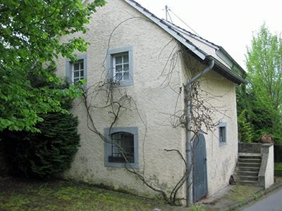 90 m
Farmhouses and Farm Buildings
Streckhof
110 m
Historic Townscapes
Höfe in der Brunnenstraße
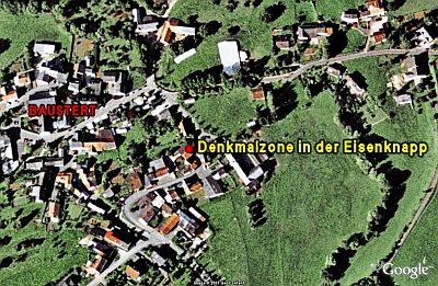 110 m
Historic Townscapes
Denkmalzone in der Eisenknapp
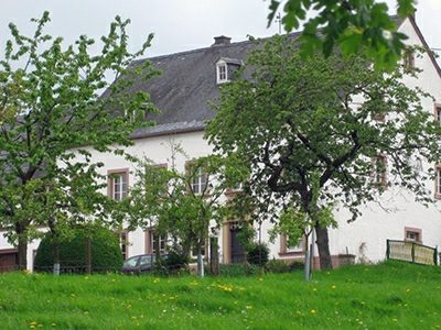 130 m
Farmhouses and Farm Buildings
Bauernhaus
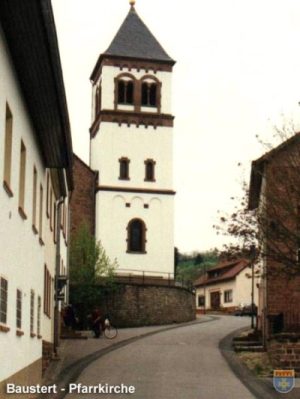 220 m
Catholic Churches
Sankt Maximin (2)
220 m
Catholic Churches
Sankt Maximin (1)
Field Names
Mühlenpesch
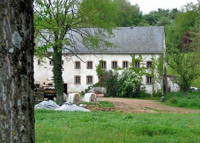 250 m
Farmhouses and Farm Buildings