Wayside Shrines and Stations of the Cross · Renaissance
Wegekreuz
- Listed monument


© GeoBasis-DE / LVermGeoRP, dl-de/by-2-0
There is no picture of this object yet. Do you have a photo that you would like to make available to the Kulturdatenbank? Submit a picture
Description
This description is only available in German.
Translate with Google opens this page in Google Translate (external service)
Das schlichte Wegekreuz besteht aus einem hohen, an den Kanten abgefaßten Schaft aus dem 16. Jahrhundert und dem getrennt gearbeiteten Aufsatzkreuz mit basisförmigem Fuß das ein jüngeres, schmiedeeisernes Kreuz trägt. [1]
Classification
- Subject area
- Architectural and Art Monuments
- Category
- Religious Buildings
- Object type
- Wayside Shrines and Stations of the Cross
- Date
- 16. Jahrhundert
- Period
- Renaissance
Location
- District
- Eifelkreis Bitburg-Prüm
- Collective municipality
- Bitburger Land
- Municipality
- Bettingen
- Street
- Bei Burgstraße 30
- Field name
- Im Schmitzberg
- Coordinates
- WGS 84: 49.941755, 6.394330 (Position: exact) WGS 84: 49° 56′ 30.3″ N, 6° 23′ 39.6″ E UTM 32 (ETRS89): E 313045 · N 5535410
Sources
Data sources
- [1] Denkmaltopographie Bundesrepublik Deutschland, Kulturdenkmäler in Rheinland-Pfalz, Kreis Bitburg-Prüm, 9.2 Wernersche Verlagsgesellschaft 1994. ISBN 3-88462-132-7
On the internet
Last edited: 29 Mar 2005 Object ID: 9648
https://kulturdb.de/en/objekt/9648-bettingen-wegekreuz
Nearby
The nearest objects
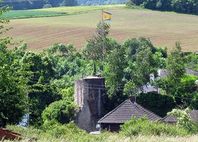 60 m
Castles
Burgruine Bettingen
80 m
Castles
Burgruine Bettingen - Bergfried und Torhaus
Manorial Residences and Estate Buildings
Ehemaliges Vogthaus
120 m
Castles
Burgruine Bettingen - Schildmauer
Field Names
Auf der Gleicht
Field Names
In der Acht
Field Names
Im Bungert
Wayside Shrines and Stations of the Cross