Historic Townscapes · Undated
Historisches Ortsbild

Description
This description is only available in German.
Translate with Google opens this page in Google Translate (external service)
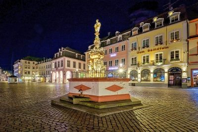
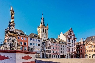
Das historische Stadtbild gliedert sich in drei städtebauliche Zentren: religiöses (z.B. Domviertel), bürgerlich-profanes (z.B. Hauptmarkt) und absolutistisches (Kurfürstliches Palais). In diese sind wichtige römische Monumentalbauten eingegliedert. [1]
Classification
- Subject area
- Architectural and Art Monuments
- Category
- Historic Townscapes
- Date
- Undatiert
- Period
- Undated
Location
- District
- City of Trier
- Collective municipality
- Verbandsfreie Gemeinde Trier
- Town
- Trier
- Locality / location
- Mitte-Gartenfeld
- Field name
- Ortslage
- Coordinates
- WGS 84: 49.756700, 6.641311 (Position: within the village) WGS 84: 49° 45′ 24.1″ N, 6° 38′ 28.7″ E UTM 32 (ETRS89): E 330116 · N 5514250
Sources
Data sources
- [1] Kremb/Lautzas: Landesgeschichtlicher Exkursionsführer Rheinland-Pfalz, Bd.2, 1991; Verlag Arbogast, 6756 Otterbach
On the internet
de.wikipedia.org/wiki/Trier-Mitte/Gartenfeld
Picture credits
- Picture 1: Internet
Last edited: 7 Oct 2003 Object ID: 97
https://kulturdb.de/en/objekt/97-trier-historisches-ortsbild
Nearby
The nearest objects
 less than 10 m
Execution Sites
Hinrichtung auf dem Hauptmarkt
 10 m
Legal Monuments
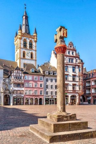
Marktkreuz auf dem Hauptmarkt
 10 m
Chartered Towns
Stadtrechte
 10 m
Execution Sites
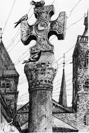
Marktkreuz auf dem Hauptmarkt - Pranger
 20 m
Works of Art
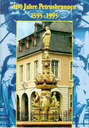
Petrusbrunnen
 20 m
Historic Townscapes
Hauptmarkt - Bebauung
House Names
Das Boos’ sche Haus
Town Houses and Commercial Buildings