Wayside Shrines and Stations of the Cross · Baroque / Rococo
Wegekreuz von 1741
- Listed monument


© GeoBasis-DE / LVermGeoRP, dl-de/by-2-0
There is no picture of this object yet. Do you have a photo that you would like to make available to the Kulturdatenbank? Submit a picture
Description
This description is only available in German.
Translate with Google opens this page in Google Translate (external service)
Hier steht ein Wegekreuz aus grauem Sandstein. Über einem mit Rankenwerk verziertem Sockel erhebt sich eine leere Muschelnische. Das Kruzifix trägt unter dem Fuß die Jahreszahl 1741. [1]
Classification
- Subject area
- Architectural and Art Monuments
- Category
- Religious Buildings
- Object type
- Wayside Shrines and Stations of the Cross
- Date
- 1741
- Period
- Baroque / Rococo
Location
- District
- Eifelkreis Bitburg-Prüm
- Collective municipality
- Bitburger Land
- Municipality
- Wißmannsdorf
- Locality / location
- Hermesdorf
- Street
- Brückenstraße 10
- Field name
- Ortslage
- Coordinates
- WGS 84: 49.996700, 6.450038 (Position: exact) WGS 84: 49° 59′ 48.1″ N, 6° 27′ 00.1″ E UTM 32 (ETRS89): E 317250 · N 5541380
Sources
Data sources
- [1] Denkmaltopographie Bundesrepublik Deutschland, Kulturdenkmäler in Rheinland-Pfalz, Kreis Bitburg-Prüm, 9.2 Wernersche Verlagsgesellschaft 1994. ISBN 3-88462-132-7
On the internet
Last edited: 8 Apr 2005 Object ID: 9759
https://kulturdb.de/en/objekt/9759-wissmannsdorf-wegekreuz-von-1741
Nearby
The nearest objects
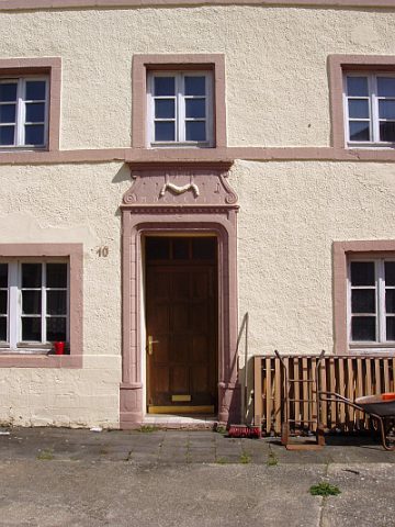 less than 10 m
Farmhouses and Farm Buildings
Wohnhaus
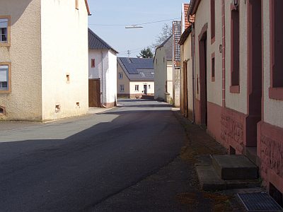 40 m
Historic Townscapes
Historischer Straßenabschnitt
Farmhouses and Farm Buildings
Portal
Farmhouses and Farm Buildings
Streckhof
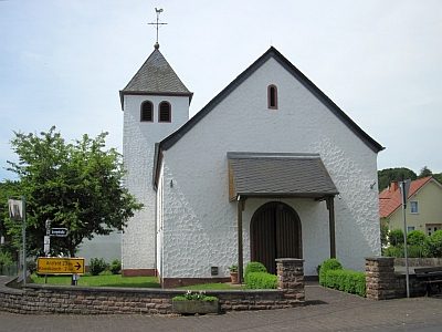 170 m
Catholic Churches
Sankt Lukas und Fides, Spes et Caritas
Farmhouses and Farm Buildings
Streckhof
Settlements
Römische Siedlungsstelle
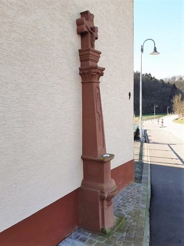 350 m
Wayside Shrines and Stations of the Cross