Town Parks and Public Green Spaces · 20th Century
Konrad-Adenauer-Anlage
- Listed monument


© GeoBasis-DE / LVermGeoRP, dl-de/by-2-0
There is no picture of this object yet. Do you have a photo that you would like to make available to the Kulturdatenbank? Submit a picture
Description
This description is only available in German.
Translate with Google opens this page in Google Translate (external service)
Die nach dem ersten Kanzler der Bundesrepublik benannte Anlage an der Einmündung des Karenwegs in die Neuerbeurger Straße bzw. Am Markt wurde 1965 neu angelegt.
Classification
- Subject area
- Natural Features
- Category
- Parks, Gardens and Cemeteries
- Object type
- Town Parks and Public Green Spaces
- Date
- 1965
- Period
- 20th Century
Location
- District
- Eifelkreis Bitburg-Prüm
- Collective municipality
- Verbandsfreie Gemeinde Bitburg
- Town
- Bitburg
- Street
- Karenweg / Neuerbeurger Straße
- Field name
- Ortslage
- Coordinates
- WGS 84: 49.973157, 6.522154 (Position: exact) WGS 84: 49° 58′ 23.4″ N, 6° 31′ 19.8″ E UTM 32 (ETRS89): E 322331 · N 5538589
Sources
Data sources
- Denkmaltopographie Bundesrepublik Deutschland, Kulturdenkmäler in Rheinland-Pfalz, Kreis Bitburg-Prüm, 9.2 Wernersche Verlagsgesellschaft 1994. ISBN 3-88462-132-7
On the internet
Last edited: 15 Mar 2005 Object ID: 9818
https://kulturdb.de/en/objekt/9818-bitburg-konrad-adenauer-anlage
Nearby
The nearest objects
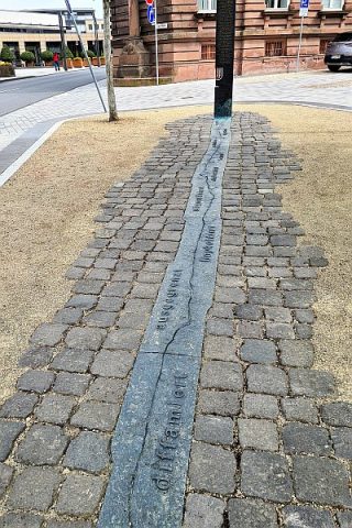 10 m
Monuments
Der Riss
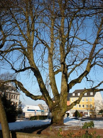 20 m
Chestnut Trees
Rosskastanie
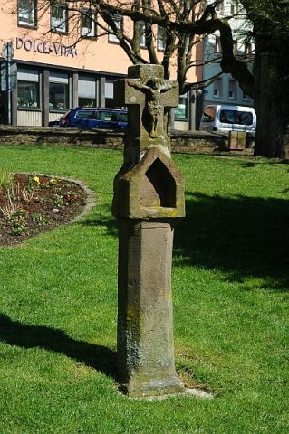 20 m
Wayside Shrines and Stations of the Cross
Nischenkreuz Konrad-Adenauer-Anlage
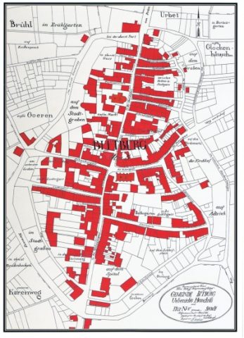 50 m
Field Names
Im Stadtgraben
 50 m
Town Houses and Commercial Buildings
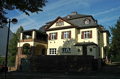
Villa
60 m
Field Names
In oberst Brodenhecken
 70 m
Synagogues
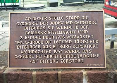
Ehemalige Synagoge
90 m
Field Names