Defensive Earthworks and Watchtowers · Prehistory / Early History
Prähistorische Wallanlage


© GeoBasis-DE / LVermGeoRP, dl-de/by-2-0
There is no picture of this object yet. Do you have a photo that you would like to make available to the Kulturdatenbank? Submit a picture
Description
This description is only available in German.
Translate with Google opens this page in Google Translate (external service)
Nördlich der Gründelhecke, am Archäologischen Wanderweg.
Classification
- Subject area
- Archaeological Monuments
- Object type
- Defensive Earthworks and Watchtowers
- Date
- Bis circa 500 vor Chr.
Location
- District
- Eifelkreis Bitburg-Prüm
- Collective municipality
- Südeifel
- Municipality
- Holsthum
- Field name
- Höhberg
- Coordinates
- WGS 84: 49.880238, 6.413446 (Position: exact) WGS 84: 49° 52′ 48.9″ N, 6° 24′ 48.4″ E UTM 32 (ETRS89): E 314180 · N 5528524
Sources
Data sources
- Karte am Archäologischen Wanderpfad und Dr. Thomas Witzke, 2005. http://tw.strahlen.org/praehistorie/rheinlandpfalz/holsthumdruidens…
On the internet
tw.strahlen.org/praehistorie/rheinlandpfalz/holsthumdruidenstein.html
Last edited: 24 May 2005 Object ID: 9922
https://kulturdb.de/en/objekt/9922-holsthum-praehistorische-wallanlage
Nearby
The nearest objects
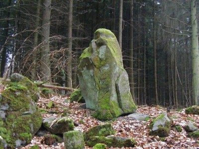 230 m
Standing Stones, Menhirs
Menhir in der Gründelhecke
Cremation Graves
Römische Brandgräber
Burial Mounds
Hügelgräber Gründelhecke
Field Names
In der Acht
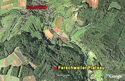 600 m
Natural Fortresses
Ferschweiler Plateau - Gründelhecke
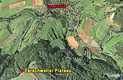 600 m
Natural Fortresses
Ferschweiler Plateau
Field Names
Auf der Acht
Cremation Graves