Fountains and Wells · Historicism / Art Nouveau
Brunnen
- Listed monument


© GeoBasis-DE / LVermGeoRP, dl-de/by-2-0
There is no picture of this object yet. Do you have a photo that you would like to make available to the Kulturdatenbank? Submit a picture
Description
This description is only available in German.
Translate with Google opens this page in Google Translate (external service)
Westlich der Ortslage an der Kreuzung der Kreisstraße 7 mit der Straße Unter den Buchen. Teils im Boden versunkene Quellfassung des 19. Jahrhunderts für eine kleine, dörflich typische Brunnenanlage aus zwei Sandsteintrögen. [1]
Classification
- Subject area
- Architectural and Art Monuments
- Category
- Fountains and Wells
- Date
- 19. Jahrhundert
Location
- District
- Trier-Saarburg
- Collective municipality
- Trier-Land
- Municipality
- Trierweiler
- Locality / location
- Udelfangen
- Street
- Unter den Buchen
- Field name
- Beim Queckelbor
- Coordinates
- WGS 84: 49.773028, 6.542668 (Position: exact) WGS 84: 49° 46′ 22.9″ N, 6° 32′ 33.6″ E UTM 32 (ETRS89): E 323071 · N 5516293
Sources
Data sources
- [1] Denkmaltopographie Bundesrepublik Deutschland. Kulturdenkmäler in Rheinland-Pfalz. Band 12.2 Kreis Trier-Saarburg. Wernersche Verlagsgesellschaft mbH, Worms. ISBN 3-88462-110-6 (1. Auflage 1994).
On the internet
Last edited: 6 Jun 2005 Object ID: 9956
https://kulturdb.de/en/objekt/9956-trierweiler-brunnen
Nearby
The nearest objects
Wayside Shrines and Stations of the Cross
Wegekreuz
Fortresses and Bunkers
Westwall - Sanitätsstand
 70 m
Settlements
Römische Siedlungsstelle
240 m
Settlements
Römische Siedlungsstelle
Vineyard Sites
Im Wingert
Farmhouses and Farm Buildings
Streckhof
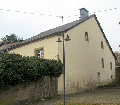 520 m
Farmhouses and Farm Buildings
Ehemaliges Hofhaus Lindenstraße 11
Field Names