Wayside Shrines and Stations of the Cross · 20th Century
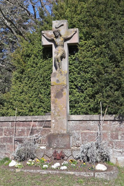
Wegekreuz am Schönfelderhof
- Listed monument
Description
This description is only available in German.
Translate with Google opens this page in Google Translate (external service)
Am Schaftfuß 1945 datiertes, ein kriegszerstörtes Kreuz ersetzendes, etwa 2,5 Meter hohes Pfeilerschaftkreuz aus Rotsandstein. Der dreiviertelplastisch vortretende Korpus ist sorgfältig aus dem am Fuß noch kenntlichen Sandsteinblock herausgearbeitet.
In der Form und künstlerischen Durchbildung anspruchsvolle Arbeit. [1]
Classification
- Subject area
- Architectural and Art Monuments
- Category
- Religious Buildings
- Object type
- Wayside Shrines and Stations of the Cross
- Date
- 1945
- Period
- 20th Century
Location
- District
- Trier-Saarburg
- Collective municipality
- Trier-Land
- Municipality
- Zemmer
- Locality / location
- Schönfelderhof
- Field name
- Schönfelderhof
- Coordinates
- WGS 84: 49.903512, 6.690352 (Position: exact) WGS 84: 49° 54′ 12.6″ N, 6° 41′ 25.3″ E UTM 32 (ETRS89): E 334151 · N 5530461
Sources
Data sources
- [1] Denkmaltopographie Bundesrepublik Deutschland. Kulturdenkmäler in Rheinland-Pfalz. Band 12.2 Kreis Trier-Saarburg. Wernersche Verlagsgesellschaft mbH, Worms. ISBN 3-88462-110-6 (1. Auflage 1994).
On the internet
Picture credits
- Picture 1: © Dr. Peter Stolz, Trier, 2023.
Last edited: 17 Apr 2023 Object ID: 9959
https://kulturdb.de/en/objekt/9959-zemmer-wegekreuz-am-schoenfelderhof
Nearby
The nearest objects
Works of Art
Brunnenanlage im Park
Chapels
Kapelle auf dem Schönfelderhof
Works of Art
Brunnenanlage im Siedlungsbereich
 160 m
Execution Sites
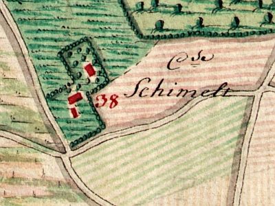
Hochgerichtskreuz
 160 m
Wayside Shrines and Stations of the Cross
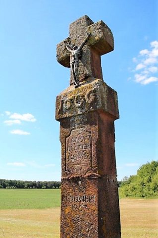
Hochkreuz von 1606
 210 m
Windmills
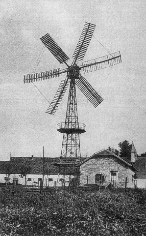
Ehemalige Windturbine
Monuments
Skulptur und Bronzetafel
Field Names