Bitburger Land
3,990 heritage sites in the collective municipality of Bitburger Land in the Kulturdatenbank Region Trier.
The map shows all 3,990 results.
-
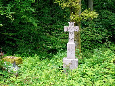
Schaftkreuz
Religious Buildings Wayside Shrines and Stations of the Cross ID 10860
-
Siedlungsstreuung
Settlements Settlements ID 12586
-
Streckhof
Residential and Farm Buildings Farmhouses and Farm Buildings ID 9712
-
Streckhof
Residential and Farm Buildings Farmhouses and Farm Buildings ID 10484
-
Verschliffene Tumuli
Burials Burial Mounds ID 12698
-
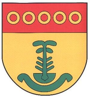
Wappen der Gemeinde Brimingen
Coats of Arms ID 2691
-
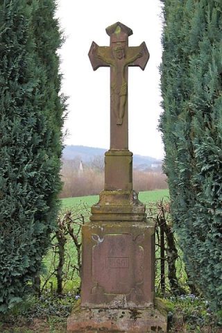
Wegkreuz von 1813
Religious Buildings Wayside Shrines and Stations of the Cross ID 10859
-
Winkelhofanlage
Residential and Farm Buildings Farmhouses and Farm Buildings ID 9713
-
Wohnhaus
Ältestes Wohnhaus des Ortes von 1736
Residential and Farm Buildings Farmhouses and Farm Buildings ID 9714
-
Auf Staudtriesch
Field Names ID 29479
-
Auf dem Sautriesch
Field Names ID 29480
-
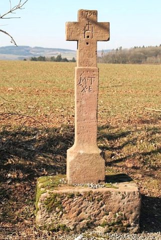
Balkenkreuz von 1790
Am alten Höhenweg nach Seffern
Religious Buildings Wayside Shrines and Stations of the Cross ID 9145
-
Bei der Rotheck
Field Names ID 43178
-
Beim Katzenberg
Field Names ID 38336
-
Beim Katzenborn
Field Names ID 31857
-
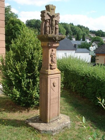
Bildstock
Religious Buildings Wayside Shrines and Stations of the Cross ID 10858
-
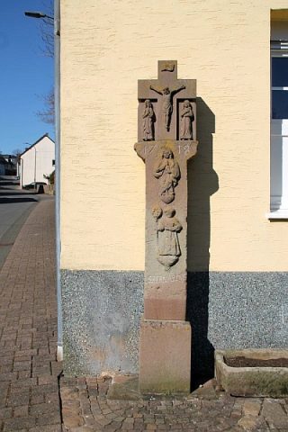
Bildstock vor der Kirche
Religious Buildings Wayside Shrines and Stations of the Cross ID 3725
-
Dreiachsiges Wohnhaus
Residential and Farm Buildings Farmhouses and Farm Buildings ID 57665
-
Ehemaliger Kalkofen
Economy, Trade and Transport Lime Kilns ID 45840
-
Ehemaliger Steinbruch
Economy, Trade and Transport Extraction and Processing of Raw Materials ID 34024
-
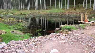
Ehemaliger Torf-Schuppen im Torffenn
Bogs and Mires Peat Cuttings ID 19408
-
Ehemaliger Torf-Schuppen im Torffenn
Bogs and Mires Peat Cuttings ID 41058
-
Ehemaliger Torfstich
Bogs and Mires Peat Cuttings ID 42608
-
Ehemaliger Torfstich
Bogs and Mires Peat Cuttings ID 42609
-
Ehemaliger Torfstich
Bogs and Mires Peat Cuttings ID 42610
-
Ehemaliges Pilgerkreuz bei der Kreuzeiche
An der Pilgerstraße
Religious Buildings Pilgrimage Routes ID 17805
-
Eingeschossiges Unterstallhaus mit Flurküche
Residential and Farm Buildings Farmhouses and Farm Buildings ID 35163
-
Friedhofskreuz
Markers and Monuments War Memorials ID 52380
-
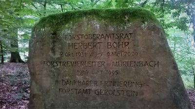
Gedenkstein für Herbert Bohr
Markers and Monuments Monuments ID 47882
-
Gewann Auf dem Gericht
Legal Monuments Execution Sites ID 25799
-
Hungerberg
Field Names ID 39022
-
Im Rödchen
Field Names ID 43939
-
Im Vogelsang
Field Names ID 42573
-
Im Wolfsgarten
Field Names ID 36897
-
Im alten Rodt
Field Names ID 43108
-
In der Endersdell
Field Names ID 44943
-
In der Schottdell
Field Names ID 45361
-
Kreuzeiche
Trees Oaks ID 3787
-
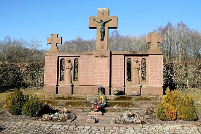
Kriegerdenkmal
Markers and Monuments War Memorials ID 53677
-
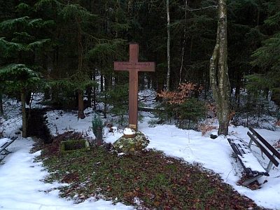
Köhlerkreuz am Pilgerweg
Religious Buildings Wayside Shrines and Stations of the Cross ID 9147
-
Muldendell
Field Names ID 45601
-
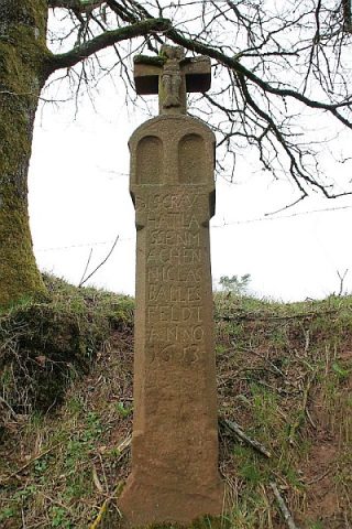
Nischenkreuz von 1605
Am alten Höhenweg nach Seffern
Religious Buildings Wayside Shrines and Stations of the Cross ID 9143
-
Nischenkreuz von 1658
An der Straße von Burbach nach Balesfeld
Religious Buildings Wayside Shrines and Stations of the Cross ID 9141
-
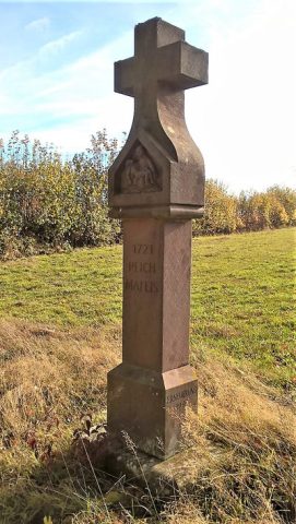
Nischenkreuz von 1727
Am alten Höhenweg nach Seffern
Religious Buildings Wayside Shrines and Stations of the Cross ID 9142
-
Ortsname / Ortsgeschichte
Place Names / Local History ID 3306
-
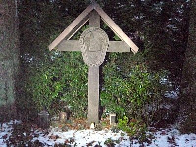
Pilgerkreuz Sankt-Matthias-Bruderschaft
An der Pilgerstraße
Religious Buildings Pilgrimage Routes ID 17811
-
Pilgerstraße
Alter Pilgerweg zum Matthiasgrab nach Trier
Markers and Monuments Pilgrimage Routes ID 5911
-
Römische Brandgräber
Burials Cremation Graves ID 12519