Bitburger Land
3,990 heritage sites in the collective municipality of Bitburger Land in the Kulturdatenbank Region Trier.
The map shows all 3,990 results.
-
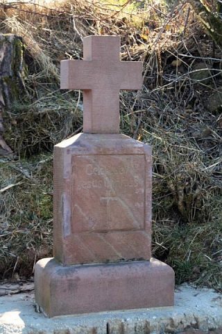
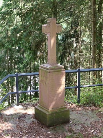
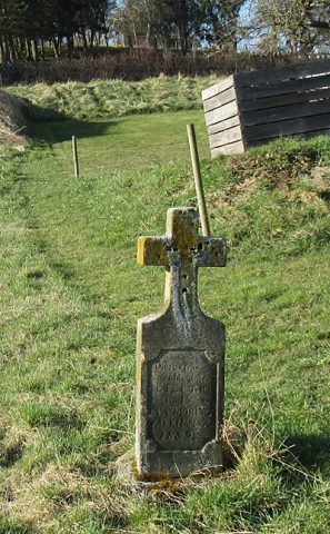
Schaftkreuz
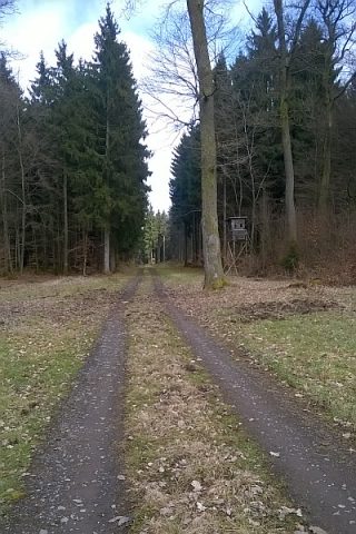
Am alten Höhenweg nach Seffern
Religious Buildings Wayside Shrines and Stations of the Cross ID 9144
-
Spuren einer Römerstraße
Economy, Trade and Transport Road Transport ID 4669
-
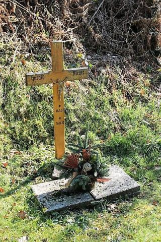
Unfallkreuz für Harald Meyer
Religious Buildings Wayside Shrines and Stations of the Cross ID 49390
-
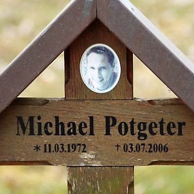
Unfallkreuz für Michael Potgeter
Religious Buildings Wayside Shrines and Stations of the Cross ID 52143
-
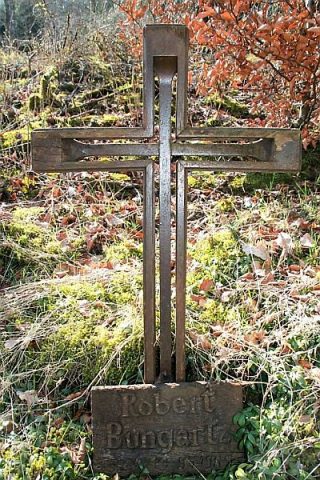
Unfallkreuz für Robert Bungartz
Religious Buildings Wayside Shrines and Stations of the Cross ID 49391
-
Unterstallhaus mit Flurküche
Residential and Farm Buildings Farmhouses and Farm Buildings ID 57664
-
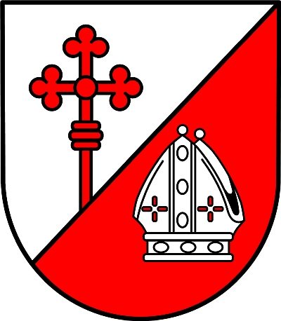
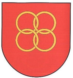
Wappen der Gemeinde Burbach
Coats of Arms ID 5426
-
Wegekreuz
Religious Buildings Wayside Shrines and Stations of the Cross ID 30323
-
Wegekreuz
Religious Buildings Wayside Shrines and Stations of the Cross ID 30324
-
Wegekreuz
Religious Buildings Wayside Shrines and Stations of the Cross ID 30325
-
Wegekreuz
Religious Buildings Wayside Shrines and Stations of the Cross ID 30326
-
Wohnhaus
Residential and Farm Buildings Farmhouses and Farm Buildings ID 35162
-
Wohnhaus
Residential and Farm Buildings Farmhouses and Farm Buildings ID 35164
-
Wohnhaus
Residential and Farm Buildings Farmhouses and Farm Buildings ID 57666
-
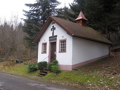
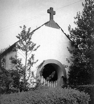
Marienkapelle
Religious Buildings Chapels ID 25539
-
Auf der Seiters
Field Names ID 41492
-
Auf der Seiters
Field Names ID 41509
-
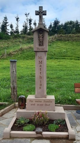
Dankeskreuz
Religious Buildings Wayside Shrines and Stations of the Cross ID 51459
-
Mauerzüge römischer Gebäude
Settlements Settlements ID 12701
-
Ortsgeschichte Neustraßburg
Place Names / Local History ID 9115
-
Auf dem Reutertriesch
Field Names ID 29438
-
Barockkreuz
An der Südseite der Dahlemer Kirche
Religious Buildings Wayside Shrines and Stations of the Cross ID 6538
-
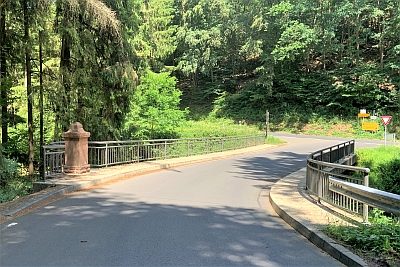
Brücke über den Keutelbach
Economy, Trade and Transport Road Transport ID 8425
-
Brücke über den Keutelbach
Economy, Trade and Transport Road Transport ID 14623
-
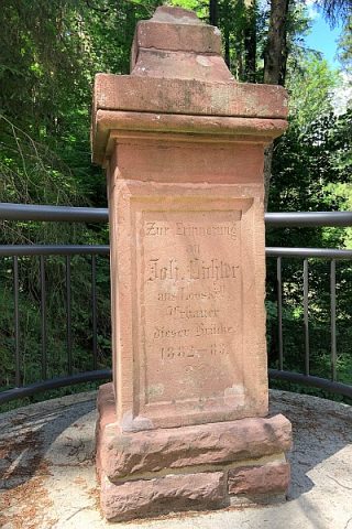
Brücke über den Keutelbach - Gedenkstein
Markers and Monuments Monuments ID 52612
-
Ehemaliger Steinbruch
Economy, Trade and Transport Extraction and Processing of Raw Materials ID 47024
-
Ehemaliger Steinbruch
Economy, Trade and Transport Extraction and Processing of Raw Materials ID 48739
-
Eifelbahn (Denkmalzone)
Engineering Structures and Industrial Sites Railways ID 4705
-
Eselskreuz
Religious Buildings Wayside Shrines and Stations of the Cross ID 9605
-
Im Hundsloch
Field Names ID 44519
-
Im Krummenberg
Field Names ID 42520
-
In der Acht
Field Names ID 35337
-
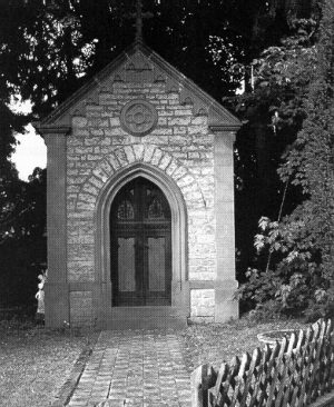
Kapelle
Religious Buildings Chapels ID 6534
-
Kapelle Im Gartenfeld 10
Religious Buildings Chapels ID 6535
-
Kappesberg
Field Names ID 41700
-
Keltische Fliehburg auf Wehrbüsch
Fortifications and Military Sites Ring Forts ID 6950
-
Kreuz
Religious Buildings Wayside Shrines and Stations of the Cross ID 6540
-
Kreuz beim Ortsausgang Dahlem
Religious Buildings Wayside Shrines and Stations of the Cross ID 6539
-
Lambertuskreuz
Religious Buildings Wayside Shrines and Stations of the Cross ID 6536
-
Ortsgeschichte Dahlem
Place Names / Local History ID 868
-
Ortsname
Place Names / Local History ID 3304
-
Pestkreuz bei der Dahlemer Pfarrkirche
Ursprüngliches Lambertuskreuz
Religious Buildings Wayside Shrines and Stations of the Cross ID 6537
-
Ruine der Knappmühle
Engineering Structures and Industrial Sites Mills ID 18804
-
Römische Siedlungsstelle
Settlements Settlements ID 12550