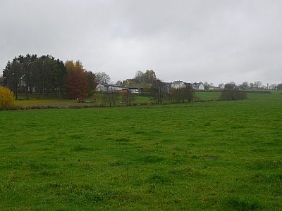
Prüm
2,912 heritage sites in the collective municipality of Prüm in the Kulturdatenbank Region Trier.
The map shows all 2,912 results.
-
Westwall - Schartenstand
Fortifications and Military Sites Fortresses and Bunkers ID 20152
-
Westwall - Schartenstand
Fortifications and Military Sites Fortresses and Bunkers ID 20161
-
Westwall - Schartenstand
Fortifications and Military Sites Fortresses and Bunkers ID 20162
-
Westwall - Schartenstand
Fortifications and Military Sites Fortresses and Bunkers ID 20163
-
Westwall - Schartenstand
Fortifications and Military Sites Fortresses and Bunkers ID 20164
-
Westwall - Schartenstand
Fortifications and Military Sites Fortresses and Bunkers ID 20165
-
Westwall - Schartenstand
Fortifications and Military Sites Fortresses and Bunkers ID 20166
-
Westwall - Schartenstand
Fortifications and Military Sites Fortresses and Bunkers ID 20167
-
Westwall - Schartenstand
Fortifications and Military Sites Fortresses and Bunkers ID 20168
-
Westwall - Schartenstand
Fortifications and Military Sites Fortresses and Bunkers ID 20169
-
Westwall - Schartenstand
Fortifications and Military Sites Fortresses and Bunkers ID 20170
-
Westwall - Schartenstand
Fortifications and Military Sites Fortresses and Bunkers ID 20307
-
Westwall - Schartenstand
Fortifications and Military Sites Fortresses and Bunkers ID 20308
-
Westwall - Schartenstand
Fortifications and Military Sites Fortresses and Bunkers ID 20309
-
Westwall - Schartenstand
Fortifications and Military Sites Fortresses and Bunkers ID 20310
-
Westwall - Schartenstand
Fortifications and Military Sites Fortresses and Bunkers ID 20311
-
Westwall - Schartenturm
Fortifications and Military Sites Fortresses and Bunkers ID 20172
-
Wildenheld
Field Names ID 40357
-
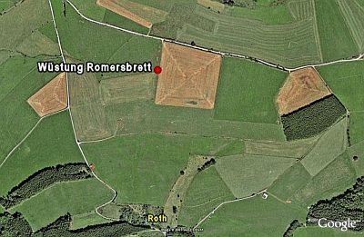
Wüstung Romersbrett
Settlements Deserted Settlements ID 734
-
Im Königsrech
Field Names ID 30005
-
In der Leimkaul
Field Names ID 35873
-
Forsthaus Schneifel
Administrative Buildings Forester's Lodges ID 8133
-
Westwall - Schartenstand
Fortifications and Military Sites Fortresses and Bunkers ID 20320
-
Im Ermelspesch
Field Names ID 27479
-
Rothen Köpfchen
Field Names ID 43350
-
Am Krepsborn
Field Names ID 32240
-
Am Rennpfad
Field Names ID 41631
-
Auf Rother Berg
Field Names ID 43553
-
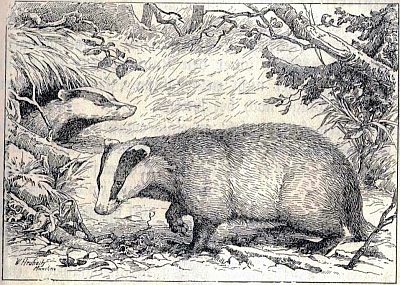
Auf den Dachslöchern im gesengten Büsch
Field Names ID 44371
-
Auf der Acht
Field Names ID 35384
-
Auf der Trift
Field Names ID 28443
-
Aufm Dürrenpesch
Field Names ID 27475
-
Aufm Faulenborn
Field Names ID 32164
-
Aufm Rothreis
Field Names ID 43465
-
Aussichtspunkt Hartelstein
Viewpoints ID 19297
-
Bei den Erzkaulen
Field Names ID 36166
-
Beim Messenpfad
Field Names ID 38391
-
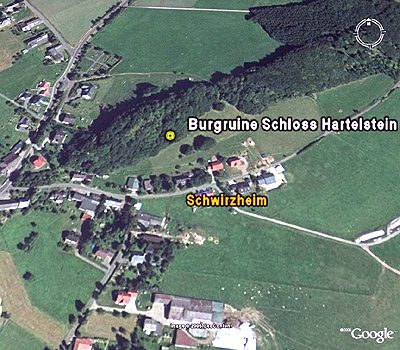
Burgruine Schloss Hartelstein
Fortifications and Military Sites Castles ID 8115
-
Burgruine Schloss Hartelstein - Wüstung
Fortifications and Military Sites Castles ID 743
-
Dürrenpesch
Field Names ID 27476
-
Eberdell
Field Names ID 44935
-
Ehemalige Burgkapelle
Religious Buildings Chapels ID 11546
-
Ehemalige Mühle am Mühlweg
Engineering Structures and Industrial Sites Mills ID 18767
-
Ehemaliger Kalkofen
Economy, Trade and Transport Lime Kilns ID 19323
-
Ehemaliger Kalkofen am Erbknopf
Economy, Trade and Transport Lime Kilns ID 19322
-
Ehemaliger Steinbruch
Economy, Trade and Transport Extraction and Processing of Raw Materials ID 46677
-
Ehemaliger Steinbruch
Economy, Trade and Transport Extraction and Processing of Raw Materials ID 46678