Ruwer
1,141 heritage sites in the collective municipality of Ruwer in the Kulturdatenbank Region Trier.
The map shows all 1,141 results.
-
Auf dem Wingert
Vineyard Sites ID 39205
-
Auf dem Wingert auf Kampelwald
Vineyard Sites ID 39206
-
Auf dem Wittumhofen
Field Names ID 29092
-
Auf der Held
Field Names ID 39956
-
Auf der Leienkaul
Field Names ID 27745
-
Auf der Rodwies
Field Names ID 43123
-
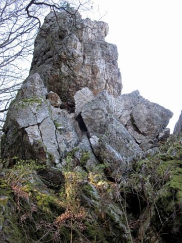
Aussichtspunkt
Viewpoints ID 48881
-
Aussichtspunkt Langenstein
Viewpoints ID 4408
-
Bei Hundsborn
Field Names ID 30935
-
Bei Runkelborn
Field Names ID 30944
-
Bei Runkelborn
Field Names ID 30945
-
Bei der Leienkaul
Field Names ID 27746
-
Die Hundsbornwiese
Field Names ID 30936
-
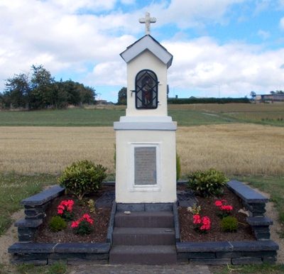
Donatusbildstock als Wegekreuz
Religious Buildings Wayside Shrines and Stations of the Cross ID 1347
-
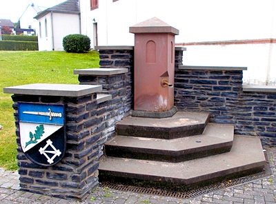
Dorfbrunnen vor Kirche
Fountains and Wells ID 49590
-
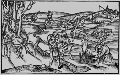
Ehemaliger Schiefer-Abbau
Economy, Trade and Transport Extraction and Processing of Raw Materials ID 48880
-
Ehemaliger Schiefer-Bruch
Economy, Trade and Transport Extraction and Processing of Raw Materials ID 18922
-
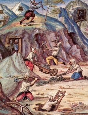
Ehemaliges Erzbergwerk
Economy, Trade and Transport Extraction and Processing of Raw Materials ID 8154
-
Ehemaliges Schieferbergwerk
Economy, Trade and Transport Extraction and Processing of Raw Materials ID 8153
-
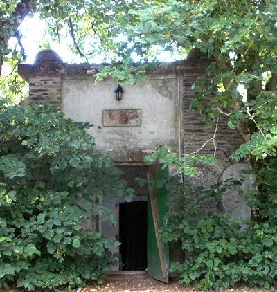
Ehemaliges Wasserwerk Morscheid
Water Supply Waterworks ID 49588
-
Faulenberg
Field Names ID 34395
-
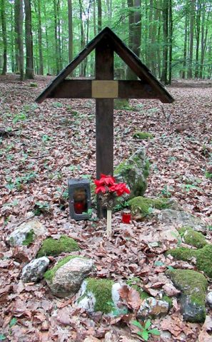
Gedenkkreuz T.Sgt. David L. Blue
Religious Buildings Wayside Shrines and Stations of the Cross ID 26095
-
Helderberg
Field Names ID 39955
-
Hinter dem Hundsborn
Field Names ID 30931
-
Hinter dem Hundsbornwald
Field Names ID 30922
-
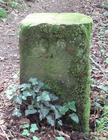
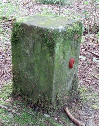
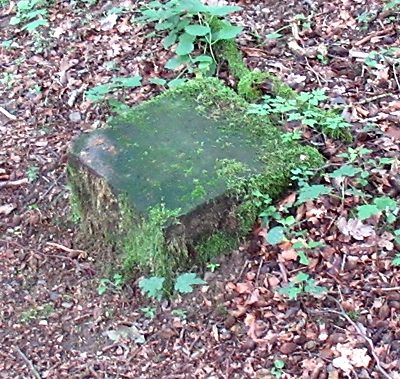
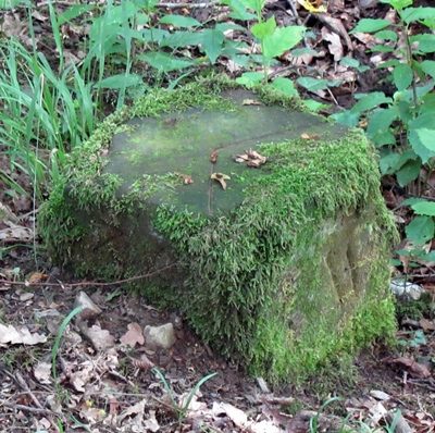
Historischer Grenzstein Nr. 29 Morscheid
Morscheider Grenzpfad
Markers and Monuments Surveying ID 51100
-
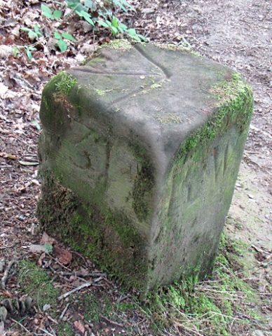
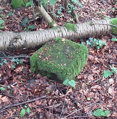
Historischer Grenzstein Nr. 30 Morscheid
Morscheider Grenzpfad
Markers and Monuments Surveying ID 51101
-
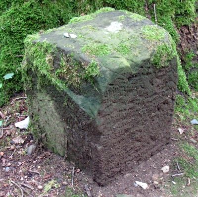
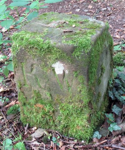
Historischer Grenzstein Nr. 31 Morscheid
Morscheider Grenzpfad
Markers and Monuments Surveying ID 51102
-
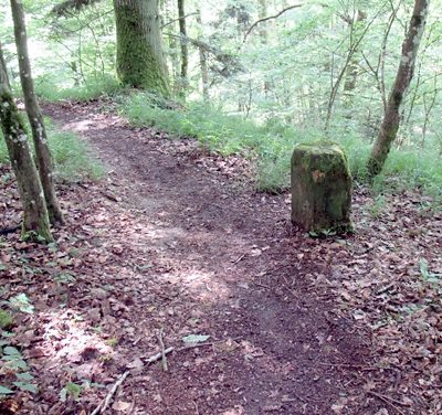
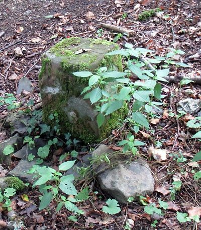
Historischer Grenzstein am Morscheider Grenzpfad
Morscheider Grenzpfad
Markers and Monuments Surveying ID 51098
-
Historischer Grenzstein am Morscheider Grenzpfad
Morscheider Grenzpfad
Markers and Monuments Surveying ID 51099
-
Historischer Grenzstein am Morscheider Grenzpfad
Morscheider Grenzpfad
Markers and Monuments Surveying ID 51103
-
Historischer Grenzstein am Morscheider Grenzpfad
Morscheider Grenzpfad
Markers and Monuments Surveying ID 51104
-
Historischer Grenzstein am Morscheider Grenzpfad
Morscheider Grenzpfad
Markers and Monuments Surveying ID 51105
-
Historischer Grenzstein am Morscheider Grenzpfad
Morscheider Grenzpfad
Markers and Monuments Surveying ID 51106
-
Historischer Grenzstein am Morscheider Grenzpfad
Morscheider Grenzpfad
Markers and Monuments Surveying ID 51107
-
Im Kehrberg
Field Names ID 38017
-
Im Riemen Werkland
Field Names ID 34183
-
Im dünnen Morgen
Field Names ID 29290
-
In dem Wingert
Vineyard Sites ID 39204
-
In der Held
Field Names ID 39958
-
In der Rodwies
Field Names ID 43082
-
Kehrberg
Field Names ID 38021
-
Kirchenloch Ehemaliger Schiefer-Abbau
Economy, Trade and Transport Extraction and Processing of Raw Materials ID 48879
-
Leienkaul
Field Names ID 27744
-
Leienkaul
Field Names ID 27748
-
Mühlenberg am Faulenberg
Field Names ID 34392
-
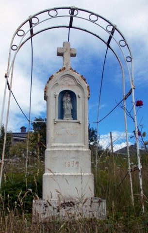
Nischenkreuz
Religious Buildings Wayside Shrines and Stations of the Cross ID 26097