Saarburg-Kell
3,302 heritage sites in the collective municipality of Saarburg-Kell in the Kulturdatenbank Region Trier.
The map shows all 3,302 results.
-
Kampfhandlungen am Dreikopf
Place Names / Local History Battlefields ID 17606
-
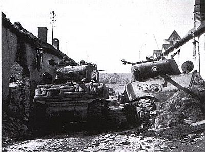
Kampfhandlungen in der Ortslage
Place Names / Local History Battlefields ID 17605
-
Lehmkaul
Field Names ID 35884
-
Lumpereiröder
Field Names ID 42095
-
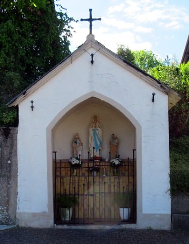
Mutter-Gottes-Kapelle
Religious Buildings Chapels ID 24837
-
Ober der Breitwiese
Field Names ID 36995
-
Ortsname / Ortsgeschichte
Place Names / Local History ID 2733
-
Pfarrergrabsteine bei Sankt Quintin
Katholische Pfarrkirche Lampaden
Religious Buildings Burial Sites ID 50539
-
Rebersrech
Field Names ID 29603
-
Vogelsangberg
Field Names ID 42590
-
Vogelsangberg
Field Names ID 42595
-
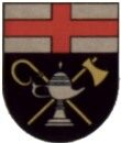
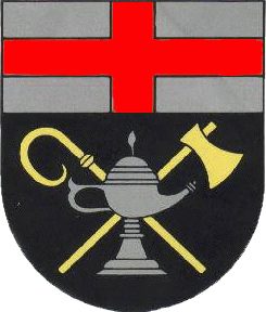
Wappen der Gemeinde Lampaden
Coats of Arms ID 2722
-
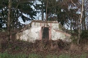
Wasserwerk
Water Supply Waterworks ID 1983
-
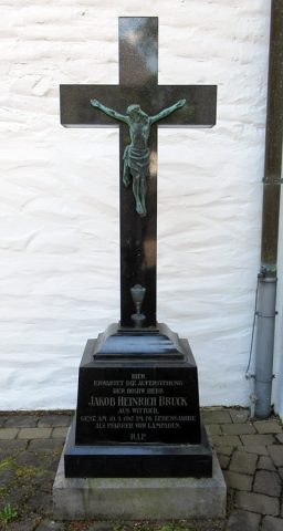
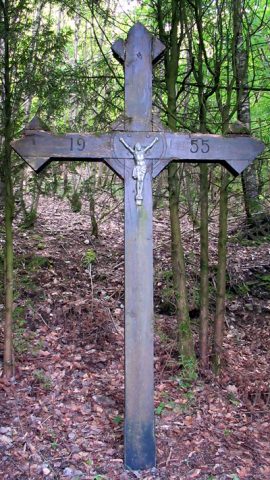
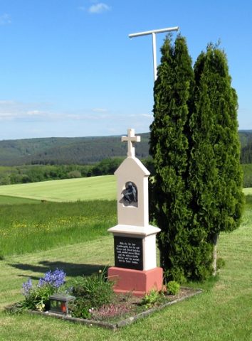
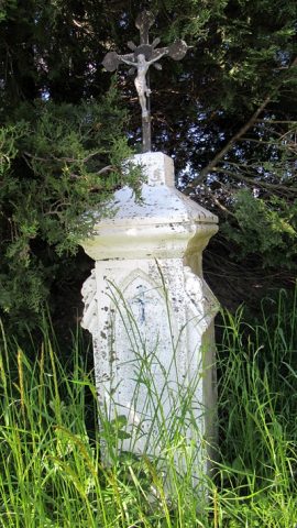
Wegekreuz
Religious Buildings Wayside Shrines and Stations of the Cross ID 26729
-
Wegekreuz
Religious Buildings Wayside Shrines and Stations of the Cross ID 26730
-
Wegekreuz
Religious Buildings Wayside Shrines and Stations of the Cross ID 26732
-
Wegekreuz
Religious Buildings Wayside Shrines and Stations of the Cross ID 26735
-
Wegekreuz
Religious Buildings Wayside Shrines and Stations of the Cross ID 32422
-
Wegekreuz
Religious Buildings Wayside Shrines and Stations of the Cross ID 32423
-
Wegekreuz am Trierer Berg
Religious Buildings Wayside Shrines and Stations of the Cross ID 26731
-
Lampadenermühle im Klinkbachtal
Engineering Structures and Industrial Sites Mills ID 7693
-
Fundstellen tierischer Versteinerungen
Geological Features Fossils ID 50951
-
Wegekreuz
Religious Buildings Wayside Shrines and Stations of the Cross ID 26734
-
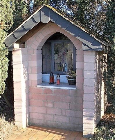
Heiligenhäuschen
Religious Buildings Wayside Shrine Houses ID 24838
-
Hinter dem Sehrer Rod
Field Names ID 43078
-
Im Obersehrer Rod
Field Names ID 43100
-
Oben im Obersehrer Grund
Field Names ID 46932
-
Ehemalige Kling Hütten
Settlements Deserted Settlements ID 45750
-
Fundstellen tierischer Versteinerungen
Geological Features Fossils ID 50970
-
Auf Petersroth
Field Names ID 43343
-
Auf Rauhtriesch
Field Names ID 29330
-
Auf dem Mohrkopf ober dem Ochsenborn
Field Names ID 30736
-
Auf dem Ochsenborn
Field Names ID 30734
-
Auf der Trift
Field Names ID 28400
-
Bei dem Schäffersborn
Field Names ID 30705
-
Ehemalige Furt durch die Ruwer
Economy, Trade and Transport Fords ID 47323
-
Ehemalige Furt durch die Ruwer
Economy, Trade and Transport Fords ID 52999
-
Ehemalige Gödenmühle am Flonterbach
Engineering Structures and Industrial Sites Mills ID 25884
-
Ehemalige Jägerscheitt Hütten
Settlements Deserted Settlements ID 45755
-
Ehemalige Lohgerberei
Economy, Trade and Transport Extraction and Processing of Raw Materials ID 40974
-
Ehemalige Oberste Mühle
Engineering Structures and Industrial Sites Mills ID 18727
-
Ehemalige Schwarzwald Hütten
Settlements Deserted Settlements ID 45749
-
Ehemaliger Meilerplatz
Economy, Trade and Transport Charcoal Kilns ID 52833
-
Ehemaliger Meilerplatz
Economy, Trade and Transport Charcoal Kilns ID 52834
-
Ehemaliger Meilerplatz
Economy, Trade and Transport Charcoal Kilns ID 52835
-
Ehemaliger Meilerplatz
Economy, Trade and Transport Charcoal Kilns ID 52836
-
Ehemaliger Meilerplatz
Economy, Trade and Transport Charcoal Kilns ID 52837