Saarburg-Kell
3,302 heritage sites in the collective municipality of Saarburg-Kell in the Kulturdatenbank Region Trier.
The map shows all 3,302 results.
-
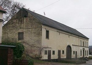
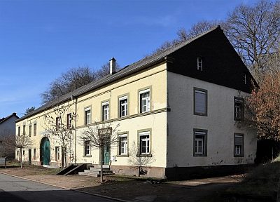
Hofanwesen
Residential and Farm Buildings Farmhouses and Farm Buildings ID 2053
-
Im Kirchengarten
Field Names ID 46185
-
Im Pesch
Field Names ID 40593
-
Im Rothenberg
Field Names ID 43569
-
Im Wingertsberg
Vineyard Sites ID 39129
-
In der Bornwies
Field Names ID 30672
-
In der Lohmühle
Field Names ID 53181
-
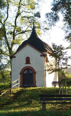
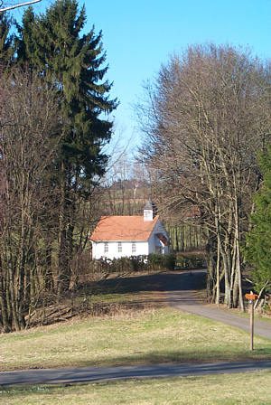
Kreuzkapelle
Religious Buildings Chapels ID 1992
-
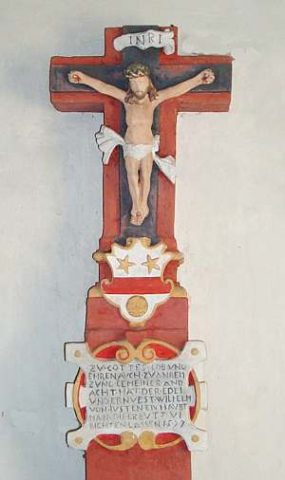
Kreuzkapelle - Renaissanceschaftkreuz
Religious Buildings Wayside Shrines and Stations of the Cross ID 41475
-
Leimkaul
Field Names ID 35829
-
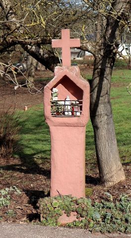
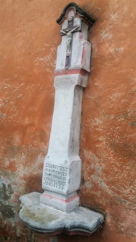
Nischenkreuz
Religious Buildings Wayside Shrines and Stations of the Cross ID 3774
-
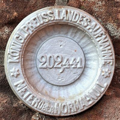
Nivellements-Nummernbolzen
Markers and Monuments Surveying ID 50575
-
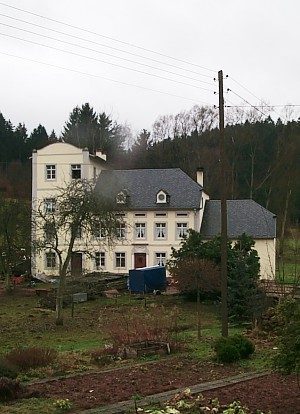
Oberhauser Mühle
Engineering Structures and Industrial Sites Mills ID 7749
-
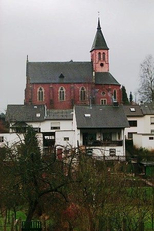
Ortsbild
Historic Townscapes ID 1990
-
Ortsname
Place Names / Local History ID 1989
-
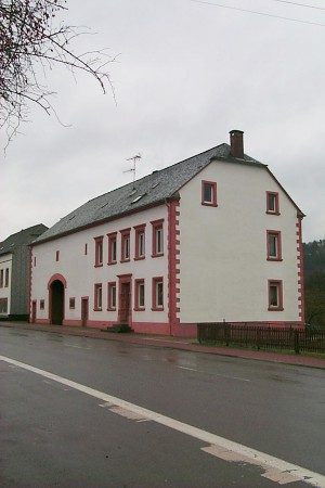
Quereinhaus
Residential and Farm Buildings Farmhouses and Farm Buildings ID 35018
-
Rothmühle
Field Names ID 43467
-
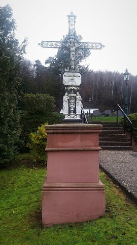
Sankt Erasmus - Friedhofskreuz
Markers and Monuments War Memorials ID 48032
-
Sankt Erasmus - Schaftkreuz am Kirchturm
Religious Buildings Wayside Shrines and Stations of the Cross ID 48031
-
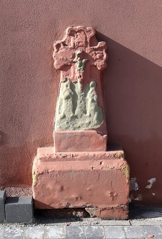
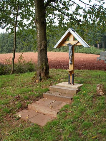
Schaftkreuz
Religious Buildings Wayside Shrines and Stations of the Cross ID 34975
-
Spiesbungert
Field Names ID 28207
-
Vermuteter Mühlenstandort am Leukbach
Engineering Structures and Industrial Sites Mills ID 17587
-
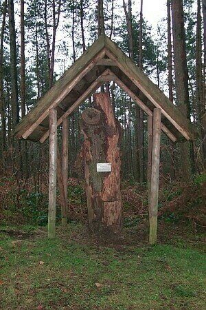
Waldlehrpfad
Educational Trails ID 2056
-
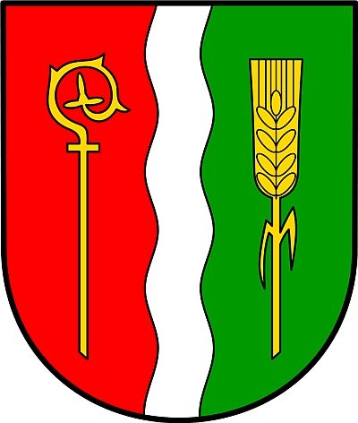
Wappen der Gemeinde Trassem
Coats of Arms ID 6739
-
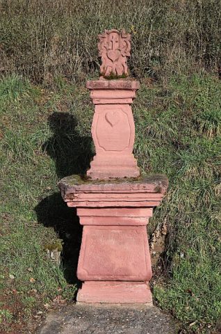
Wegekreuz
Religious Buildings Wayside Shrines and Stations of the Cross ID 2054
-
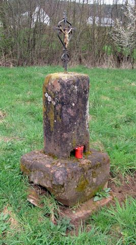
Wegekreuz
Religious Buildings Wayside Shrines and Stations of the Cross ID 34971
-
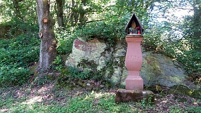
Wegekreuz am Weg zur Kreuzkapelle
Religious Buildings Wayside Shrines and Stations of the Cross ID 32450
-
Wegekreuz an der Leuk
Religious Buildings Wayside Shrines and Stations of the Cross ID 34973
-
Beim Heidenpütz
Field Names ID 39515
-
Beim Kriegerborn
Field Names ID 30711
-
Beim Schmerborn
Field Names ID 30699
-
Brücherwies
Field Names ID 52092
-
Friedhofskapelle
Religious Buildings Chapels ID 17580
-
Fundstellen tierischer Versteinerungen
Geological Features Fossils ID 50933
-
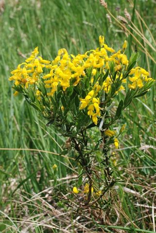
Ginsterberg
Field Names ID 46451
-
Kirschelborn
Field Names ID 30733
-
Kriegerborngewann
Field Names ID 30713
-
Oberm Kirschelborn
Field Names ID 30737
-
Ortsname / Ortsgeschichte
Place Names / Local History ID 2738
-
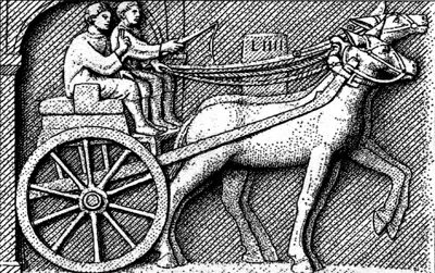
Reste einer Römerstraße
Economy, Trade and Transport Road Transport ID 5490