Localités · Période celtique / romaine
Römischer Siedlungsplatz

Classification
- Catégorie
- Habitat
- Type d'objet
- Localités
- Date
- Circa 500 vor Chr. bis circa 500 nach Chr.
- Période
- Période celtique / romaine
Localisation
- Arrondissement
- Bernkastel-Wittlich
- Communauté de communes
- Einheitsgemeinde Morbach
- Commune
- Morbach
- Localité / emplacement
- Hinzerath
- Lieu-dit
- In der Langfuhr
- Coordonnées
- WGS 84 : 49.851310, 7.169365 (Position : exacte) WGS 84 : 49° 51′ 04,7″ N, 7° 10′ 09,7″ E UTM 32 (ETRS89) : E 368403 · N 5523706
Sources
Sources des données
- Leipziger online-Beiträge zur Ur- und Frühgeschichtlichen Archäologie 31. Herausgegeben von Sabine Rieckhoff, Wolf-Rüdiger Teegen und Sabine Wolfram. Leipzig 2008. ISSN 1612-4227. http://www.uni-leipzig.de
Sur Internet
Crédits photos
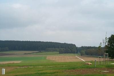
- Image 1: © Lothar Monshausen, Fotostream http://www.flickr.com/photos/lomo56/tags/meteorite/
Dernière modification : 21 juil. 2010 Identifiant de l'objet : 18672
https://kulturdb.de/fr/objekt/18672-morbach-roemischer-siedlungsplatz
À proximité
Les objets les plus proches
Pas d'image
320 m
Fosses d’extraction de tourbe
Ehemaliger Torfstich
Pas d'image
360 m
Fosses d’extraction de tourbe
Ehemaliger Torfstich
 480 m
Localités
Römische Siedlung Vicus Belginum
Pas d'image
500 m
Temples, sanctuaires
Tempelbezirk
Pas d'image
510 m
Oratoires et stations du chemin de croix
Wegekreuz
Pas d'image
580 m
Points de vue
Aussichtspunkt
 600 m
Fortifications urbaines
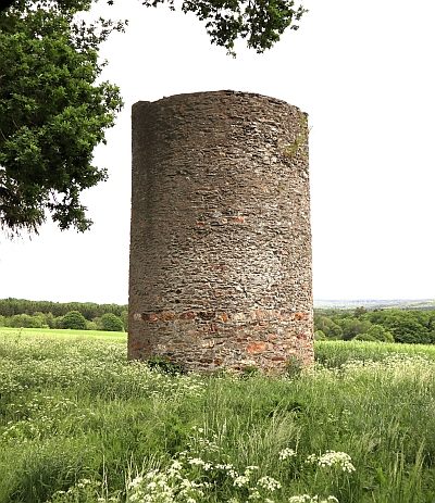
Stumpfer Turm - Ehemaliger Wartturm
Pas d'image
610 m
Localités