Extraction et transformation de matières premières · Haut Moyen Âge / Art roman
Mühlsteinbruch am Rockeskyller Kopf


© GeoBasis-DE / LVermGeoRP, dl-de/by-2-0
Il n'y a pas encore de photo de cet objet. Disposez-vous d'une photo que vous souhaiteriez mettre à la disposition de la Kulturdatenbank ? Envoyer une photo
Description
La description n'est disponible qu'en allemand.
Traduire avec Google ouvre la page dans Google Traduction (service externe)
Fundort: 63. Stratovulkan mit Lavastrom und Schlotfüllung. Gestein: Melilith-Nephelinith. [1]
Classification
- Catégorie
- Économie, commerce et transports
- Date
- Circa 500 nach Chr. bis circa 1220
- Période
- Haut Moyen Âge / Art roman
Localisation
- Arrondissement
- Vulkaneifel
- Communauté de communes
- Gerolstein
- Commune
- Rockeskyll
- Lieu-dit
- Im Winkel
- Coordonnées
- WGS 84 : 50.251834, 6.678029 (Position : exacte) WGS 84 : 50° 15′ 06,6″ N, 6° 40′ 40,9″ E UTM 32 (ETRS89) : E 334470 · N 5569211
Sources
Sources des données
- [1] Fridolin Hörter: Getreidereiben und Mühlsteine aus der Eifel. Ein Beitrag zur Steinbruch- und Mühlengeschichte. Geschichts- und Altertumsverein für Mayen und Umgebung, 1994. ISBN:3-930821-12-5 http://www.gavmayen.de/gav-der-verein.html
Sur Internet
Dernière modification : 28 mars 2012 Identifiant de l'objet : 24147
https://kulturdb.de/fr/objekt/24147-rockeskyll-muehlsteinbruch-am-rockeskyller-kopf
À proximité
Les objets les plus proches
Lieux-dits
Im Winkel
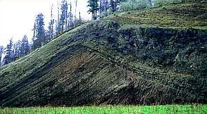 110 m
Caractéristiques géologiques
Geotop
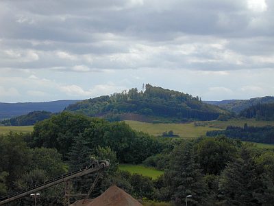 160 m
Volcans
Gipfel des Rockeskyller Kopfes mit Basaltfelsen
 170 m
Volcans
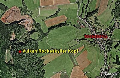
Vulkan Rockeskyller Kopf
 170 m
Hêtres
Franzosenbuche
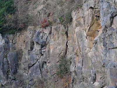 310 m
Extraction et transformation de matières premières
Aufgelassener Basaltsteinbruch
Lieux-dits
Im Rott
450 m
Volcans