Fontaines et puits · Non daté
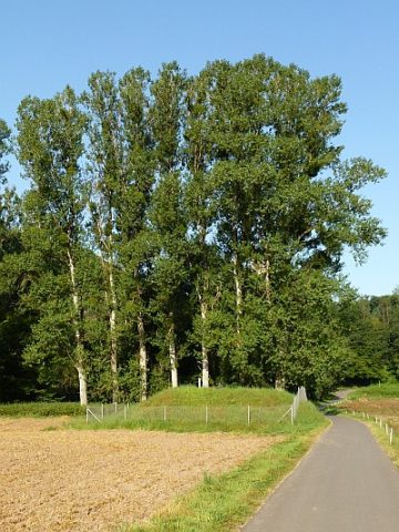
Ramstein Brunnen 2

Classification
- Catégorie
- Fontaines et puits
- Date
- Undatiert
- Période
- Non daté
Localisation
- Arrondissement
- Trier-Saarburg
- Communauté de communes
- Trier-Land
- Commune
- Kordel
- Localité / emplacement
- Burg Ramstein
- Lieu-dit
- Im Ramsteinermaar
- Coordonnées
- WGS 84 : 49.822402, 6.646712 (Position : exacte) WGS 84 : 49° 49′ 20,6″ N, 6° 38′ 48,2″ E UTM 32 (ETRS89) : E 330734 · N 5521541
Sources
Sources des données
- [1] GeoPortal des Landes Rheinland-Pfalz. http://www.geoportal.rlp.de/
Sur Internet
Crédits photos
- Image 1: © Peter Valerius, Kordel, 2012.
Dernière modification : 20 août 2012 Identifiant de l'objet : 24964
https://kulturdb.de/fr/objekt/24964-kordel-ramstein-brunnen-2
À proximité
Les objets les plus proches
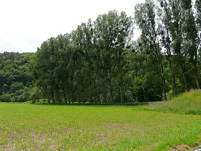 30 m
Lieux-dits
Im Ramsteiner Maar
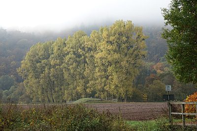 60 m
Peupliers
Ehemalige Pappelallee im Ramsteiner Maar
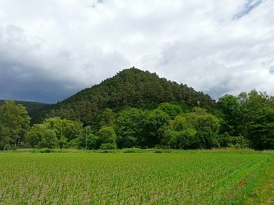 70 m
Localités
Römische Siedlungsstelle Ramstein
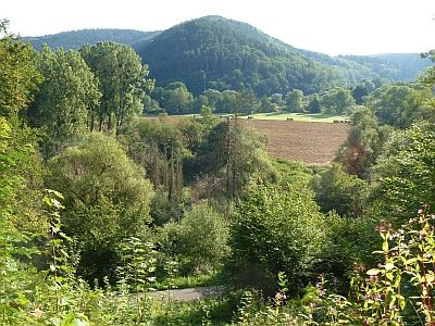 120 m
Extraction et transformation de matières premières
Römischer Frachthafen
 140 m
Fontaines et puits
Ramstein Brunnen 3
 140 m
Lieux-dits
Unter der Butzerbach
 140 m
Tombes à incinération
Römischer Bestattungsplatz an der Kyll
 140 m
Extraction et transformation de matières premières