Fontaines et puits · Non daté
Hirschborn


© GeoBasis-DE / LVermGeoRP, dl-de/by-2-0
Il n'y a pas encore de photo de cet objet. Disposez-vous d'une photo que vous souhaiteriez mettre à la disposition de la Kulturdatenbank ? Envoyer une photo
Classification
- Catégorie
- Fontaines et puits
- Date
- Undatiert
- Période
- Non daté
Localisation
- Arrondissement
- Vulkaneifel
- Communauté de communes
- Gerolstein
- Commune
- Salm
- Lieu-dit
- Der Hirschborn
- Coordonnées
- WGS 84 : 50.138084, 6.670261 (Position : exacte) WGS 84 : 50° 08′ 17,1″ N, 6° 40′ 12,9″ E UTM 32 (ETRS89) : E 333521 · N 5556582
Sources
Sources des données
- [1] GeoPortal des Landes Rheinland-Pfalz. http://www.geoportal.rlp.de/
Sur Internet
Dernière modification : 23 août 2012 Identifiant de l'objet : 24971
https://kulturdb.de/fr/objekt/24971-salm-hirschborn
À proximité
Les objets les plus proches
Pas d'image
20 m
Lieux-dits
Der Hirschborn
Pas d'image
340 m
Lieux-dits
In Oberroth am Berg
Pas d'image
440 m
Lieux-dits
In Oberroth
Pas d'image
620 m
Lieux-dits
In Oberroth bei Hüllscheid
Pas d'image
690 m
Lieux-dits
Am Heizborn
Pas d'image
700 m
Lieux-dits
Am Taufenseifen
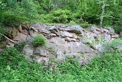 730 m
Extraction et transformation de matières premières
Ehemaliger Gemeindesteinbruch
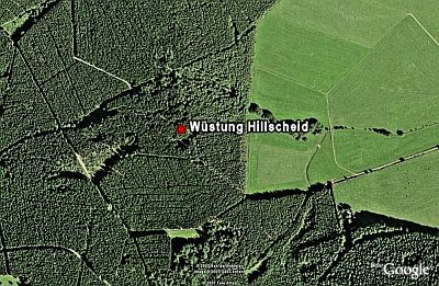 1,1 km
Villages disparus