Fontaines et puits · Non daté
Brunnen zur Trinkwasserversorgung


Classification
- Catégorie
- Fontaines et puits
- Date
- Undatiert
- Période
- Non daté
Localisation
- Arrondissement
- Trier-Saarburg
- Communauté de communes
- Trier-Land
- Commune
- Kordel
- Localité / emplacement
- Burg Ramstein
- Lieu-dit
- Zwischen der Laufbach und Reigraben
- Coordonnées
- WGS 84 : 49.820236, 6.649408 (Position : exacte) WGS 84 : 49° 49′ 12,8″ N, 6° 38′ 57,9″ E UTM 32 (ETRS89) : E 330921 · N 5521295
Sources
Sources des données
- [1] GeoPortal des Landes Rheinland-Pfalz. http://www.geoportal.rlp.de/
Sur Internet
Crédits photos
Dernière modification : 1 oct. 2012 Identifiant de l'objet : 25211
https://kulturdb.de/fr/objekt/25211-kordel-brunnen-zur-trinkwasserversorgung
À proximité
Les objets les plus proches
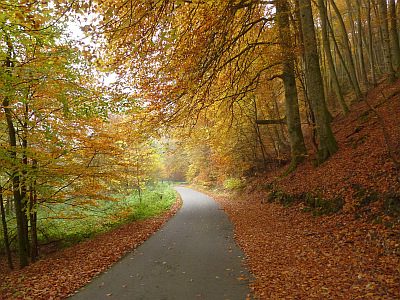 50 m
Lieux-dits
Zwischen der Laufbach und Reigraben
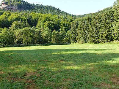 90 m
Lieux-dits
Hofland im Teich
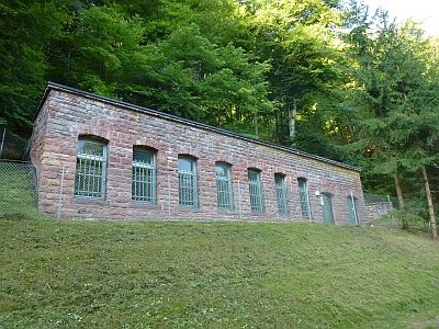 110 m
Fontaines et puits
Pumpwerk Ramstein
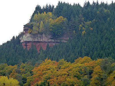 140 m
Rochers
Geyersley - 3. Abschnitt
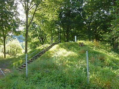 140 m
Fontaines et puits
Ramstein Brunnen 6
 160 m
Points de vue
Aussichtspunkt Geyersley
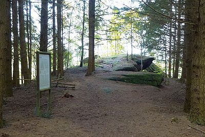 160 m
Rochers
Geyersley - Teufelswand und Teufelsplatte
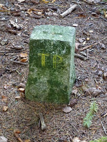 160 m
Arpentage