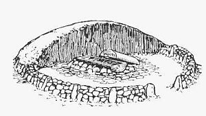
Tumulus · Non daté
Hügelgrab
- Monument classé

Classification
- Catégorie
- Sépultures
- Type d'objet
- Tumulus
- Date
- Undatiert
- Période
- Non daté
Localisation
- Arrondissement
- Vulkaneifel
- Communauté de communes
- Daun
- Commune
- Gillenfeld
- Lieu-dit
- Bannholz
- Coordonnées
- WGS 84 : 50.114730, 6.896090 (Position : exacte) WGS 84 : 50° 06′ 53,0″ N, 6° 53′ 45,9″ E UTM 32 (ETRS89) : E 349584 · N 5553507
Sources
Sources des données
- [1] Digitale TK25. Landesamt für Vermessung und Geobasisinformation Rheinland-Pfalz. 2001 (ISBN 3-89637-345-5)
Sur Internet
Crédits photos
- Image 1: http://www.biebertalonline.de/gemeinde/grab1.jpg
Dernière modification : 19 août 2016 Identifiant de l'objet : 41315
https://kulturdb.de/fr/objekt/41315-gillenfeld-huegelgrab