Sites viticoles · Historicisme / Art nouveau
Bocksteiner


© GeoBasis-DE / LVermGeoRP, dl-de/by-2-0
Il n'y a pas encore de photo de cet objet. Disposez-vous d'une photo que vous souhaiteriez mettre à la disposition de la Kulturdatenbank ? Envoyer une photo
Classification
- Thème
- Histoire
- Catégorie
- Sites viticoles
- Date
- 1868
- Période
- Historicisme / Art nouveau
Localisation
- Arrondissement
- Trier-Saarburg
- Communauté de communes
- Saarburg-Kell
- Commune
- Ockfen
- Lieu-dit
- Bockstein
- Coordonnées
- WGS 84 : 49.621420, 6.596430 (Position : exacte) WGS 84 : 49° 37′ 17,1″ N, 6° 35′ 47,1″ E UTM 32 (ETRS89) : E 326402 · N 5499314
Sources
Sources des données
- [1] Weinbaukarte Saar-Mosel für den Regierungsbezirk Trier, Clotten 1868. http://www.stadtbibliothek-weberbach.de/shop/reproduktionen/weinbau…
Sur Internet
Dernière modification : 1 déc. 2017 Identifiant de l'objet : 45900
https://kulturdb.de/fr/objekt/45900-ockfen-bocksteiner
À proximité
Les objets les plus proches
 360 m
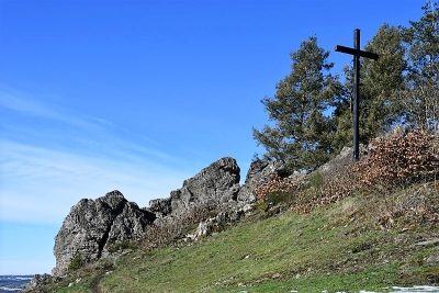
Rochers
Bockstein
 370 m
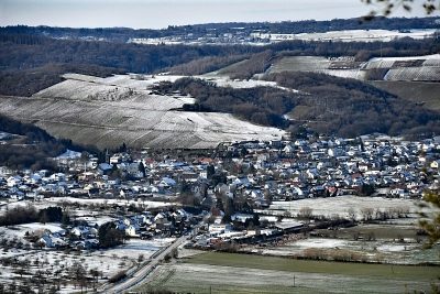
Points de vue
Aussichtspunkt Bockstein
380 m
Oratoires et stations du chemin de croix
Gipfelkreuz auf dem Bockstein
Pas d'image
390 m
Forteresses et bunkers
Westwall - MG-Panzerabw.kanonen-Schartenstand
Pas d'image
390 m
Lieux-dits
Auf Fonsrech
Pas d'image
400 m
Lieux-dits
Unter Fonsrech
Pas d'image
430 m
Forteresses et bunkers
Westwall - Maschinengewehr-Schartenstand
Pas d'image
500 m
Lieux-dits