Localités · Période celtique / romaine
Römische Siedlungsstelle

Classification
- Catégorie
- Habitat
- Type d'objet
- Localités
- Date
- Circa 500 vor Chr. bis circa 500 nach Chr.
- Période
- Période celtique / romaine
Localisation
- Arrondissement
- Eifelkreis Bitburg-Prüm
- Communauté de communes
- Bitburger Land
- Commune
- Oberkail
- Lieu-dit
- Auf dem Gericht
- Coordonnées
- WGS 84 : 50.030320, 6.683235 (Position : exacte) WGS 84 : 50° 01′ 49,2″ N, 6° 40′ 59,6″ E UTM 32 (ETRS89) : E 334077 · N 5544573
Sources
Sources des données
- [1] Geodaten von OpenStreetMap die freie Weltkarte. http://www.openstreetmap.org CC-BY-SA, 2019.
Sur Internet
Crédits photos
- Image 1: © Lothar Monshausen, Fotostream http://www.flickr.com/photos/lomo56/tags/meteorite/
Dernière modification : 12 juil. 2019 Identifiant de l'objet : 48382
https://kulturdb.de/fr/objekt/48382-oberkail-roemische-siedlungsstelle
À proximité
Les objets les plus proches
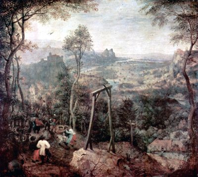 120 m
Lieux d'exécution
Galgen
Pas d'image
330 m
Lieux-dits
In der Acht
Pas d'image
330 m
Lieux-dits
Am Eulendorfergrund
 380 m
Localités
Römische Siedlungsstelle
Pas d'image
380 m
Lieux-dits
Bungert
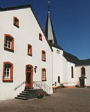 410 m
Lieux-dits
In der Altmühl
Pas d'image
480 m
Fours à chaux
Ehemaliger Kalkofen
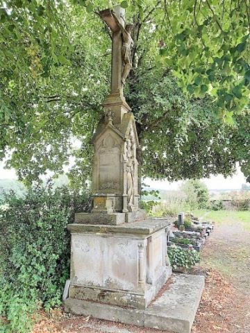 550 m
Monuments aux morts