Charbonnières · Baroque / Rococo
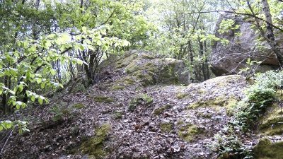
Ehemaliger Meilerplatz

Classification
- Catégorie
- Économie, commerce et transports
- Type d'objet
- Charbonnières
- Date
- 18. Jahrhundert
- Période
- Baroque / Rococo
Localisation
- Arrondissement
- Trier-Saarburg
- Communauté de communes
- Saarburg-Kell
- Commune
- Mandern
- Lieu-dit
- Auf Pölert
- Coordonnées
- WGS 84 : 49.601472, 6.749276 (Position : exacte) WGS 84 : 49° 36′ 05,3″ N, 6° 44′ 57,4″ E UTM 32 (ETRS89) : E 337374 · N 5496755
Sources
Sources des données
- Johannes Wagner, Mandern, 2023. https://www.VomHochwald.de
Sur Internet
Crédits photos
- Image 1: Von unknown (reproduction by EPei) - selbst abfototografiert von altem Foto, Gemeinfrei, https://commons.wikimedia.org/w/index.php?curid=24457977
Dernière modification : 18 oct. 2023 Identifiant de l'objet : 52839
https://kulturdb.de/fr/objekt/52839-mandern-ehemaliger-meilerplatz
À proximité
Les objets les plus proches
Pas d'image
240 m
Lieux-dits
Rosengarten
Pas d'image
330 m
Chênes
Sogenannte Dicke Eiche
Pas d'image
330 m
Oratoires et stations du chemin de croix
Sandsteinkreuz von 1808
 460 m
Rochers
Zuckerhut
Pas d'image
780 m
Fossiles
Fundstellen tierischer Versteinerungen
Pas d'image
880 m
Fosses d’extraction de tourbe
Ehemaliger Torfstich Höbelbruch
Pas d'image
920 m
Gués
Ehemalige Furt durch die Ruwer
Pas d'image
1,0 km
Lieux-dits