Tumulus · Non daté
Hügelgrab
- Monument classé

Classification
- Catégorie
- Sépultures
- Type d'objet
- Tumulus
- Date
- Undatiert
- Période
- Non daté
Localisation
- Arrondissement
- Trier-Saarburg
- Ville
- Hermeskeil
- Lieu-dit
- In der Felsbach
- Coordonnées
- WGS 84 : 49.641350, 6.949330 (Position : exacte) WGS 84 : 49° 38′ 28,9″ N, 6° 56′ 57,6″ E UTM 32 (ETRS89) : E 351949 · N 5500775
Sources
Sources des données
- [1] Digitale TK25. Landesamt für Vermessung und Geobasisinformation Rheinland-Pfalz. 2001 (ISBN 3-89637-345-5)
Sur Internet
naturpark.org/projekte/hahnenbornbruch/index.html
Crédits photos
- Image 1: http://www.biebertalonline.de/gemeinde/grab1.jpg
Dernière modification : 4 août 2016 Identifiant de l'objet : 5488
https://kulturdb.de/fr/objekt/5488-hermeskeil-huegelgrab
À proximité
Les objets les plus proches
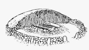 40 m
Tumulus
Hügelgrab
80 m
Tumulus
Hügelgrab
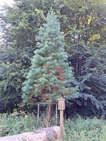 320 m
Séquoias géants
2 Mammutbäume
Pas d'image
450 m
Forteresses et bunkers
Westwall - Maschinengewehr-Schartenstand
 500 m
Charbonnières
Ehemaliger Meilerplatz
550 m
Charbonnières
Ehemaliger Meilerplatz
580 m
Charbonnières
Ehemaliger Meilerplatz
Pas d'image
660 m
Forteresses et bunkers