Localités · Période celtique / romaine
Römischer Siedlungsplatz

Classification
- Catégorie
- Habitat
- Type d'objet
- Localités
- Date
- Circa 500 vor Chr. bis circa 500 nach Chr.
- Période
- Période celtique / romaine
Localisation
- Arrondissement
- Bernkastel-Wittlich
- Communauté de communes
- Traben-Trarbach
- Commune
- Enkirch
- Lieu-dit
- Schach an der Großbach
- Coordonnées
- WGS 84 : 49.975383, 7.178365 (Position : exacte) WGS 84 : 49° 58′ 31,4″ N, 7° 10′ 42,1″ E UTM 32 (ETRS89) : E 369386 · N 5537484
Sources
Sources des données
- Alfred Haffner: "Eine latenezeitliche-frührömische Grabhügelgruppe mit Wagenbestattung von Enkirch, Kreis Bernkastel-Wittlich.
Sur Internet
Crédits photos
- Image 1: © Lothar Monshausen, Fotostream http://www.flickr.com/photos/lomo56/tags/meteorite/
Dernière modification : 22 juil. 2004 Identifiant de l'objet : 8570
https://kulturdb.de/fr/objekt/8570-enkirch-roemischer-siedlungsplatz
À proximité
Les objets les plus proches
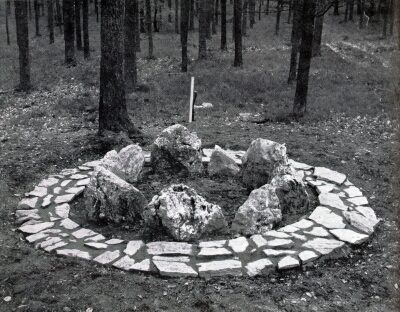 80 m
Tumulus
Spätkeltisches Wagengrab
Pas d'image
130 m
Tumulus
Grabhügelgruppe Hinterer Hunseifen
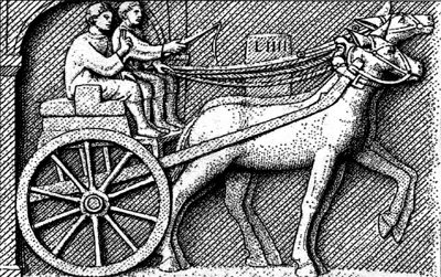 200 m
Transport routier
Römerstraße am Spaner Berg (1)
Pas d'image
460 m
Lieux-dits
Schach an der Großbach
Pas d'image
600 m
Redoutes et retranchements
Keltische Viereckschanze
Pas d'image
650 m
Tumulus
Grabhügelgruppe Vorderer Hunseifen (1)
Pas d'image
680 m
Tumulus
Grabhügelgruppe Vorderer Hunseifen (2)
Pas d'image
700 m
Redoutes et retranchements