20th Century
5,980 heritage sites from the period 20th Century: 1918 to 2000.
The map shows all 5,980 results.
-
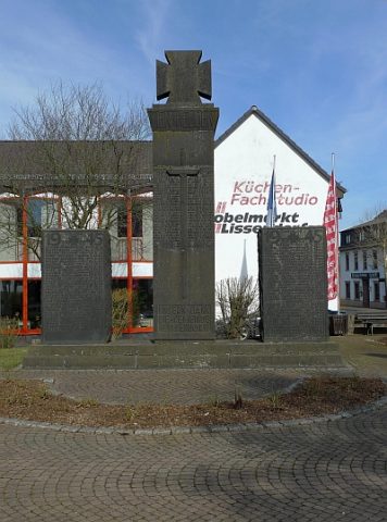
Kriegerdenkmal
Markers and Monuments War Memorials ID 23548
-
Streckhof
Religious Buildings Wayside Shrines and Stations of the Cross ID 34982
-
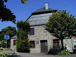
Ehemalige Barbaramühle
Heute: Heimatmuseum Barbaramühle
Engineering Structures and Industrial Sites Mills ID 18312
-
Heimatmuseum Barbaramühle
Educational Institutions Museums ID 275
-
Küsterhaus
Administrative Buildings Rectories ID 55817
-
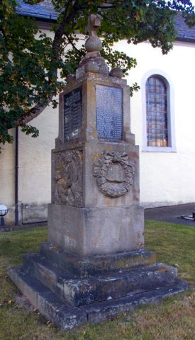
Kriegerdenkmal beider Weltkriege
Markers and Monuments War Memorials ID 28484
-
Alte Wasserwerkstation II
Water Supply Waterworks ID 53048
-
Ehemaliger Schießstand
Recreation and Sports Facilities Shooting Ranges ID 53027
-
Ehemalige Bunker und Flakbatterie
Luftverteidigungszone (LVZ) West
Fortifications and Military Sites Fortresses and Bunkers ID 51727
-
Westwall - Schartenstand
Baustärke C und schwächer
Fortifications and Military Sites Fortresses and Bunkers ID 20392
-
Westwall - Schartenstand
Baustärke C und schwächer
Fortifications and Military Sites Fortresses and Bunkers ID 20393
-
Westwall - Panzerabwehrkanonen-Stand
Fortifications and Military Sites Fortresses and Bunkers ID 20394
-
Westwall - Schartenstand
Fortifications and Military Sites Fortresses and Bunkers ID 20395
-
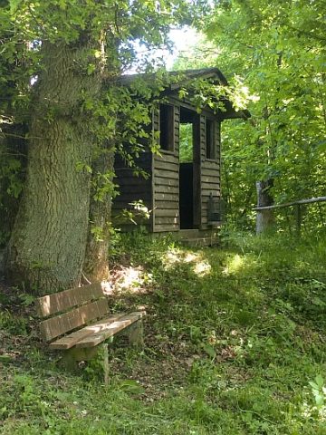
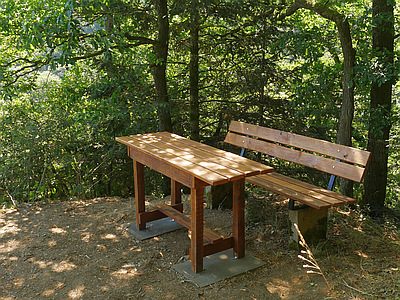
Georg-Zahnen-Hütte
Viewpoints ID 53673
-
Kriegerdenkmal - 1. Weltkrieg
Markers and Monuments War Memorials ID 41469
-
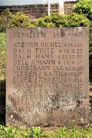
Kriegerdenkmal - 2. Weltkrieg
Markers and Monuments War Memorials ID 41470
-
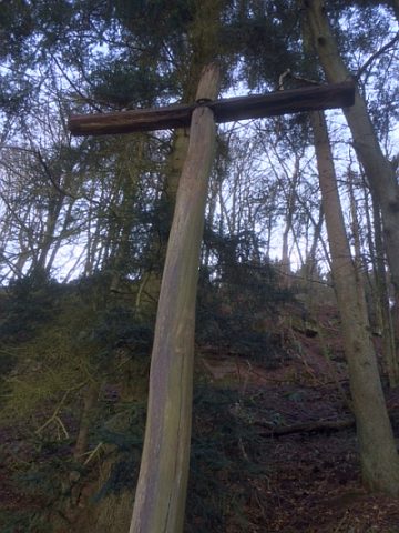
Tellkreuz
Religious Buildings Wayside Shrines and Stations of the Cross ID 32664
-
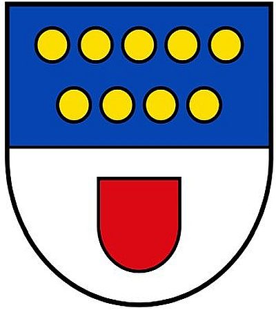
Wappen der Gemeinde Malberg
Coats of Arms ID 5437
-
Ehemaliges Schulhaus
Educational Institutions Schools ID 8309
-
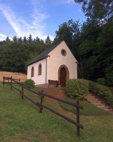
Marienkapelle vor der Hardt
Religious Buildings Chapels ID 32670
-
Sankt Nikolaus - Kriegerdenkmal
Katholische Filialkirche
Markers and Monuments War Memorials ID 49982
-
Theiskreuz
Religious Buildings Wayside Shrines and Stations of the Cross ID 53600
-
Ehemaliger Steinbruch
Economy, Trade and Transport Extraction and Processing of Raw Materials ID 47337
-
Westwall - Gefechtsstand (Inf. Komp.führer)
Baustärke B1 oder stärker
Fortifications and Military Sites Fortresses and Bunkers ID 22249
-
Westwall - Gefechtsstand (Inf. Komp.führer)
Baustärke B1 oder stärker
Fortifications and Military Sites Fortresses and Bunkers ID 22251
-
Westwall - Gefechtsstand (Inf. Komp.führer)
Baustärke B1 oder stärker
Fortifications and Military Sites Fortresses and Bunkers ID 22252
-
Westwall - Maschinengewehr-Schartenstand
Fortifications and Military Sites Fortresses and Bunkers ID 22247
-
Westwall - Maschinengewehr-Schartenstand
Fortifications and Military Sites Fortresses and Bunkers ID 22248
-
Ehemalige Furt durch die Ruwer
Economy, Trade and Transport Fords ID 47323
-
Ehemalige Furt durch die Ruwer
Economy, Trade and Transport Fords ID 52999
-
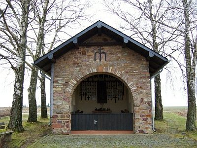
Michels ihr Kapellchen in der Träf
Religious Buildings Chapels ID 10595
-
Schutzmantel-Kapelle auf Wiebelscheid
Religious Buildings Chapels ID 10594
-
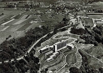
Eifelklinik
Hospitals ID 49240
-
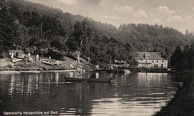
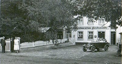
Heidsmühle - ehemaliges Schwimmbad
Recreation and Sports Facilities ID 48037
-
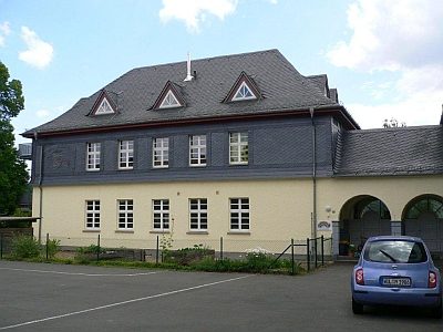
Alte Schule mit Lehrerwohnungen
Educational Institutions Schools ID 18708
-
Aussichtspunkt Biermanns Ruh
Viewpoints ID 47880
-
Aussichtspunkt Marienhütte
Viewpoints ID 42694
-
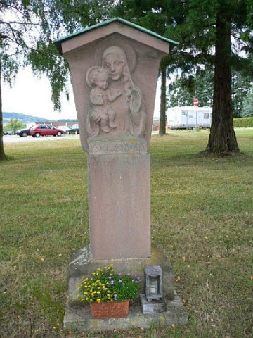
Bildstock mit der Muttergottes
Religious Buildings Wayside Shrines and Stations of the Cross ID 16747