Historicism / Art Nouveau
5,535 heritage sites from the period Historicism / Art Nouveau: c. 1850 to 1920.
The map shows all 5,535 results.
-
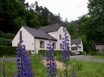
Ehemalige Mühle
Engineering Structures and Industrial Sites Mills ID 41923
-
Ehemalige Rothmühle
Engineering Structures and Industrial Sites Mills ID 17588
-
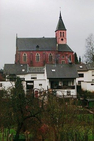
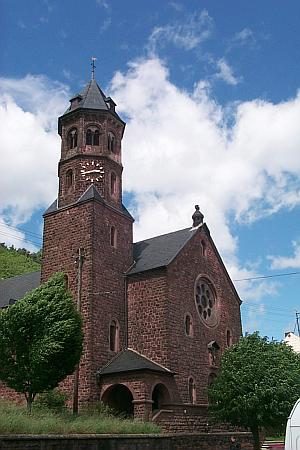
Ehemalige Sankt-Josefs-Kapelle
Religious Buildings Chapels ID 41922
-
Ehemaliges Lusthaus
Residential and Farm Buildings Manorial Residences and Estate Buildings ID 51097
-
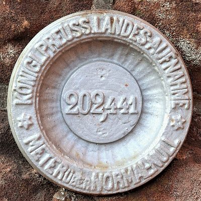
Nivellements-Nummernbolzen
Markers and Monuments Surveying ID 50575
-
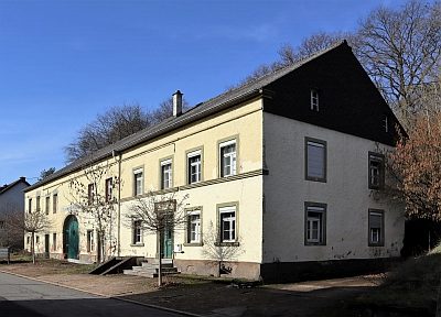
Quereinhaus
Residential and Farm Buildings Farmhouses and Farm Buildings ID 35018
-
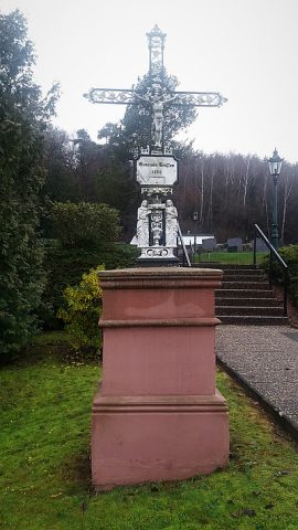
Sankt Erasmus - Friedhofskreuz
Markers and Monuments War Memorials ID 48032
-
Auf der Acht
Field Names ID 49877
-
Bienenberg
Field Names ID 49860
-
Brunnenhaus
Fountains and Wells ID 49964
-
Dechantsgarten
Field Names ID 49770
-
Donau
Field Names ID 49856
-
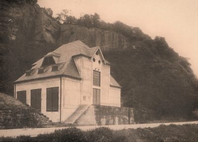
Ehemalige Transformatoren-Station Sankt Jost
Economy, Trade and Transport Extraction and Processing of Raw Materials ID 50229
-
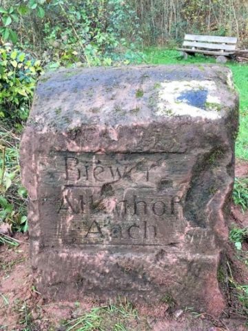
Ehemaliger Haltepunkt Biewer
Engineering Structures and Industrial Sites Railways ID 49993
-
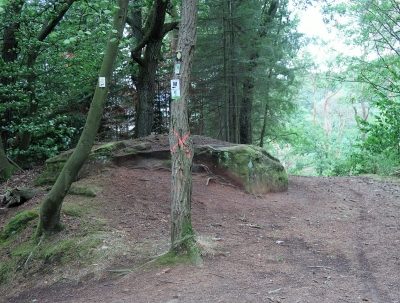
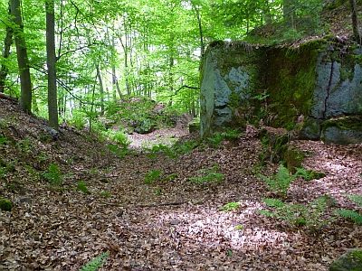
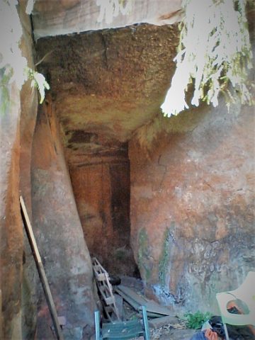
Ehemaliger Steinbruch
Economy, Trade and Transport Extraction and Processing of Raw Materials ID 19911
-
Ehemaliger Steinbruch am Joster Berg
Economy, Trade and Transport Extraction and Processing of Raw Materials ID 19907
-
Ehemaliger Steinbruch am Joster Berg
Economy, Trade and Transport Extraction and Processing of Raw Materials ID 19908
-
Ehemaliger Steinbruch am Joster Berg
Economy, Trade and Transport Extraction and Processing of Raw Materials ID 19909
-
Ehemaliger Steinbruch am Steigenberg
Economy, Trade and Transport Extraction and Processing of Raw Materials ID 19910
-
Ehemaliger Wegestein am Schusterskreuz
Markers and Monuments Surveying ID 49992
-
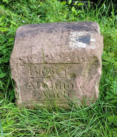
Historischer Wegestein
Markers and Monuments Surveying ID 42685
-
Historischer Wegestein
Markers and Monuments Surveying ID 52145
-
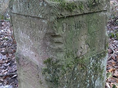
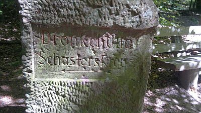
Historischer Wegestein am Schusterskreuz
Markers and Monuments Surveying ID 42816
-
Historischer Wegestein am Stubenberg
Markers and Monuments Surveying ID 50496
-
Historischer Wegestein und Wanderwegetafel
Markers and Monuments Surveying ID 53636
-
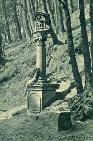
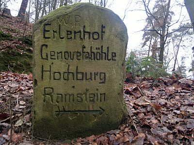
Historischer Wegweiser
Markers and Monuments Surveying ID 41924
-
Im Dumpelsgarten
Field Names ID 49769
-
Im Reulandsgarten
Field Names ID 49717
-
Im Thal
Field Names ID 49768
-
In Biewer
Field Names ID 49716
-
In Biewer
Field Names ID 49747
-
Josterberg
Field Names ID 49767
-
Nivellements-Nummernbolzen
Markers and Monuments Surveying ID 50571
-
Nivellements-Nummernbolzen
Markers and Monuments Surveying ID 50572
-
Ober der Baumschule
Field Names ID 49778
-
Reulandsgarten
Field Names ID 49777
-
Schneidersmühle am Aacherbach
Engineering Structures and Industrial Sites Mills ID 7777
-
Schneidersmühle am Aacherbach - Mosesgrab
Engineering Structures and Industrial Sites Mills ID 49515
-
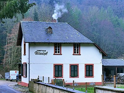
Sogenannter Altenhof
Administrative Buildings Forester's Lodges ID 17820
-
Tanzplatz
Field Names ID 49727
-
Taubenstein
Field Names ID 49714
-
Unter Sankt Jost
Field Names ID 49692
-
Unter der Landstraße
Field Names ID 49766
-
Am Adelsgraben
Field Names ID 49890
-
Am Brückerthor
Field Names ID 49700
-
Am Grossholzer Fussweg
Field Names Forest Names ID 49889