Field Names · Historicism / Art Nouveau
Bienenberg


Description
This description is only available in German.
Translate with Google opens this page in Google Translate (external service)
Vorkommen von Wildbienen oder Standort von Bienenkörben? [2]
Classification
- Subject area
- History
- Category
- Field Names
- Date
- 1857
Location
- District
- City of Trier
- Collective municipality
- Verbandsfreie Gemeinde Trier
- Town
- Trier
- Locality / location
- Biewer
- Field name
- Bienenberg
- Coordinates
- WGS 84: 49.780195, 6.664949 (Position: exact) WGS 84: 49° 46′ 48.7″ N, 6° 39′ 53.8″ E UTM 32 (ETRS89): E 331900 · N 5516808
Sources
Data sources
- [1] Katasterkarte Biewer von 1857, Sammlung Jörg Busch, Trier-Biewer.
- [2] Peter Valerius, Kordel, 2023.
On the internet
de.wikipedia.org/wiki/Trier-Biewer
Picture credits
Last edited: 29 Sep 2023 Object ID: 49860
https://kulturdb.de/en/objekt/49860-trier-bienenberg
Nearby
The nearest objects
No picture
90 m
Field Names
Donau
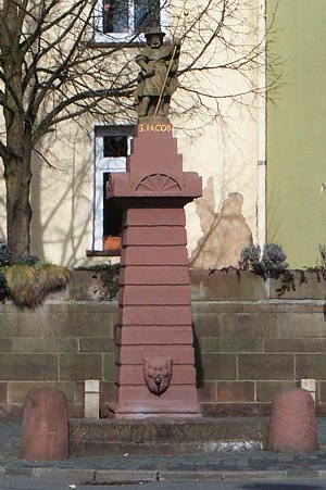 100 m
Works of Art
Sankt-Jakobs-Brunnen
No picture
100 m
Market Towns
Marktort Biewer
No picture
110 m
Town Fortifications
Vermuteter Wachturm auf dem Galgenberg
No picture
110 m
Field Names
In Biewer
No picture
120 m
Field Names
Im Dumpelsgarten
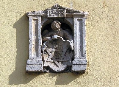 130 m
Markers and Monuments
Hausmarke
No picture
140 m
Town Fortifications