Town Fortifications · Undated
Mörtelmauer


© GeoBasis-DE / LVermGeoRP, dl-de/by-2-0
There is no picture of this object yet. Do you have a photo that you would like to make available to the Kulturdatenbank? Submit a picture
Description
This description is only available in German.
Translate with Google opens this page in Google Translate (external service)
Über angebliche Befestigungswerke auf den Höhen zwischen Biewer und Ehrang s. SCHMITT, Jahrbuch der Gesellschaft für nützliche Forschungen Trier, 1853. Die dort genannte Mörtelmauer auf dem Galgenberg ist nach den Mörtelresten römisch. [1]
Classification
- Subject area
- Archaeological Monuments
- Object type
- Town Fortifications
- Date
- Undatiert
- Period
- Undated
Location
- District
- City of Trier
- Collective municipality
- Verbandsfreie Gemeinde Trier
- Town
- Trier
- Locality / location
- Ehrang-Quint
- Field name
- Am Bienenberg
- Coordinates
- WGS 84: 49.781460, 6.665230 (Position: exact) WGS 84: 49° 46′ 53.3″ N, 6° 39′ 54.8″ E UTM 32 (ETRS89): E 331924 · N 5516948
Sources
Data sources
- [1] Steinhausen, Josef: Ortskunde Trier-Mettendorf, Peter Hanstein Verlagsbuchhandlung Bonn; 1932.
On the internet
Last edited: 3 Jul 2016 Object ID: 41091
https://kulturdb.de/en/objekt/41091-trier-moertelmauer
Nearby
The nearest objects
Town Fortifications
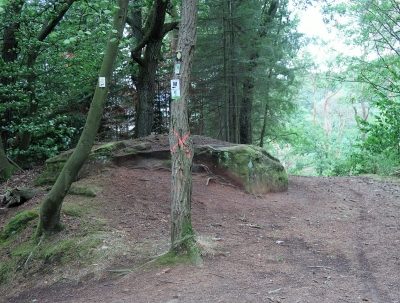
Vermuteter Wachturm auf dem Galgenberg
 40 m
Chapels
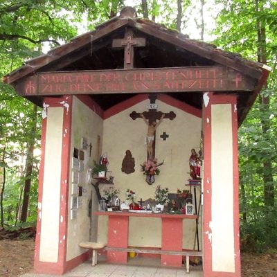
Maria-Hilf-Kapelle am Bienenberg
 50 m
Wayside Shrines and Stations of the Cross
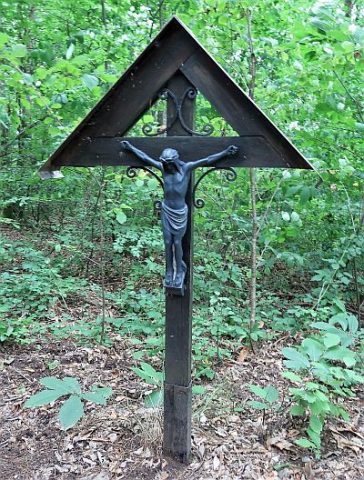
Wegekreuz am Bienenberg
 140 m
Catholic Churches
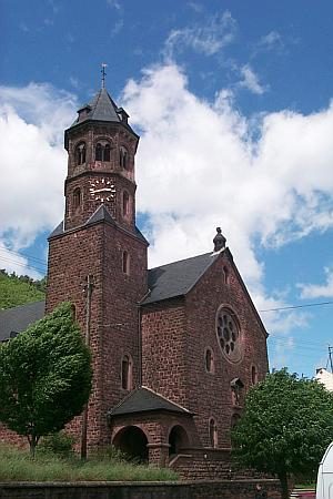
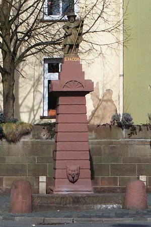
Sankt Jakob
 140 m
Field Names
Bienenberg
Road Transport
Sogenannte Alte Straße auf dem Galgenberg
Field Names
Donau
 240 m
Works of Art