Eifelkreis Bitburg-Prüm
13,378 heritage sites in Eifelkreis Bitburg-Prüm in the Kulturdatenbank Region Trier.
The map shows all 13,378 results.
-
Siedlung der Hunsrück-Eifel-Kultur
Settlements Settlements ID 12917
-
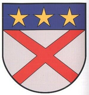
Wappen der Gemeinde Ingendorf
Coats of Arms ID 10196
-
Winkelhof Im Unterdorf 3
Residential and Farm Buildings Farmhouses and Farm Buildings ID 9610
-
Winkelhof Im Unterdorf 9
Residential and Farm Buildings Farmhouses and Farm Buildings ID 9609
-
Wohnhaus
Residential and Farm Buildings Farmhouses and Farm Buildings ID 9611
-
Wohnhaus
Residential and Farm Buildings Farmhouses and Farm Buildings ID 9612
-
Wohnhaus
Residential and Farm Buildings Farmhouses and Farm Buildings ID 9613
-
hintersten Dell
Field Names ID 45015
-
Auf dem Krummrück
Field Names ID 42341
-
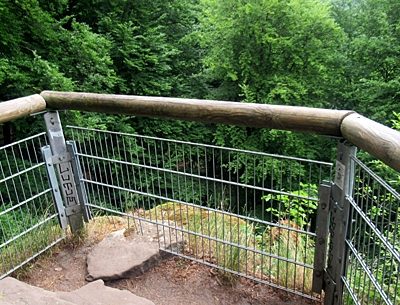
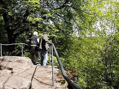
Aussichtsfelsen
Viewpoints ID 39083
-
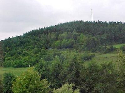
Aussichtspunkt Katzenkopf
Viewpoints ID 4372
-
Aussichtspunkt südwestlich der Ortslage
Viewpoints ID 4374
-
Beim Götzborn
Field Names ID 31250
-
Brandgräberfeld
Burials Cremation Graves ID 12809
-
Chronik der Gemeinde Irrel
Place Names / Local History ID 1396
-
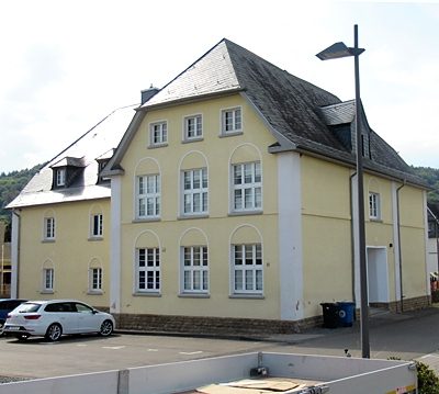
Ehemalige Schule
Educational Institutions Schools ID 40870
-
Ehemaliger Bahnhof Irrel
Engineering Structures and Industrial Sites Railways ID 40882
-
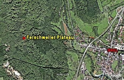
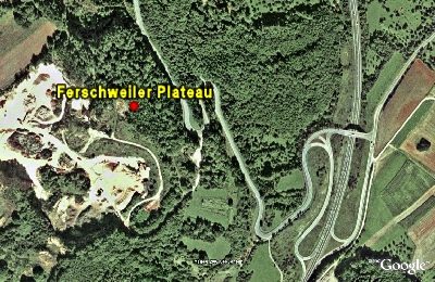
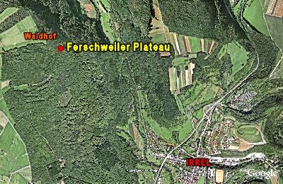
Ferschweiler Plateau - Bachschlucht
Abschnitt 10c
Fortifications and Military Sites Natural Fortresses ID 5729
-
Ferschweiler Plateau - Langenberg (Sandgrube)
Abschnitt 13
Fortifications and Military Sites Natural Fortresses ID 5724
-
Ferschweiler Plateau - Osthang gegenüber Irrel
Abschnitt 12a
Fortifications and Military Sites Natural Fortresses ID 5728
-
Ferschweiler Plateau - Schlucht
Abschnitt 10a
Fortifications and Military Sites Natural Fortresses ID 5726
-
Ferschweiler Plateau - Sogenannter Via-Punkt
Abschnitt 10b
Fortifications and Military Sites Natural Fortresses ID 5725
-
Ferschweiler Plateau - Teufelsschlucht
Abschnitt 11a
Fortifications and Military Sites Natural Fortresses ID 5731
-
Geologischer Lehrpfad Teufelsschlucht
Educational Trails ID 577
-
Im Auel
Field Names ID 42137
-
Im Grund
Field Names ID 46824
-
Im Grund
Field Names ID 46825
-
Im Paradies
Field Names ID 27886
-
Im obersten Grund
Field Names ID 46878
-
In der Surbach
Field Names ID 40784
-
In der krummen Furche
Field Names ID 42442
-
Irreler Tunnel - Nordportal
Engineering Structures and Industrial Sites Railways ID 40872
-
Irreler Tunnel - Südportal
Engineering Structures and Industrial Sites Railways ID 40871
-
Irrelermühle an der Nims
Engineering Structures and Industrial Sites Mills ID 7568
-
Jüdische Geschichte
Place Names / Local History Jewish History ID 25268
-
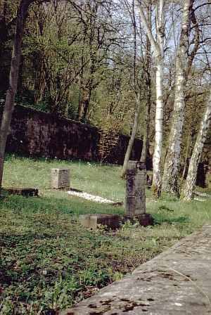
Jüdischer Friedhof
Parks, Gardens and Cemeteries Jewish Cemeteries ID 2844
-
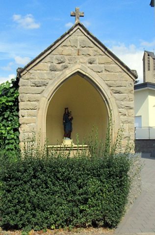
Kapelle
Religious Buildings Chapels ID 40869
-
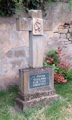
Kreuzweg beim ehemaligen Chorturm - 1. Station
Religious Buildings Wayside Shrines and Stations of the Cross ID 57203
-
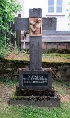
Kreuzweg beim ehemaligen Chorturm - 10. Station
Religious Buildings Wayside Shrines and Stations of the Cross ID 57212
-
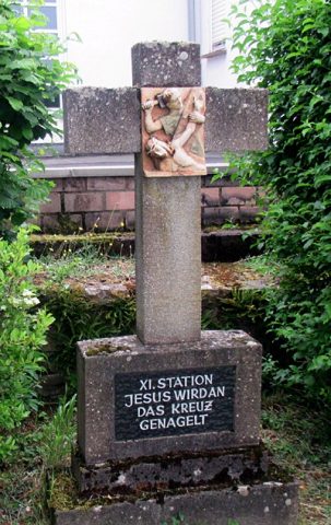
Kreuzweg beim ehemaligen Chorturm - 11. Station
Religious Buildings Wayside Shrines and Stations of the Cross ID 57213
-
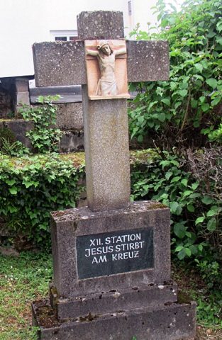
Kreuzweg beim ehemaligen Chorturm - 12. Station
Religious Buildings Wayside Shrines and Stations of the Cross ID 57214