Mills · Undated
Irrelermühle an der Nims

Classification
- Subject area
- Architectural and Art Monuments
- Object type
- Mills
- Date
- Undatiert
- Period
- Undated
Location
- District
- Eifelkreis Bitburg-Prüm
- Collective municipality
- Südeifel
- Municipality
- Irrel
- Field name
- Ortslage
- Coordinates
- WGS 84: 49.846640, 6.469956 (Position: exact) WGS 84: 49° 50′ 47.9″ N, 6° 28′ 11.8″ E UTM 32 (ETRS89): E 318113 · N 5524650
Sources
Data sources
- [1] GeoPortal des Landes Rheinland-Pfalz. http://www.geoportal.rlp.de/
On the internet
Picture credits
- Picture 1: sam883 in: http://www.flickr.com/
Last edited: 20 Feb 2007 Object ID: 7568
https://kulturdb.de/en/objekt/7568-irrel-irrelermuehle-an-der-nims
Nearby
The nearest objects
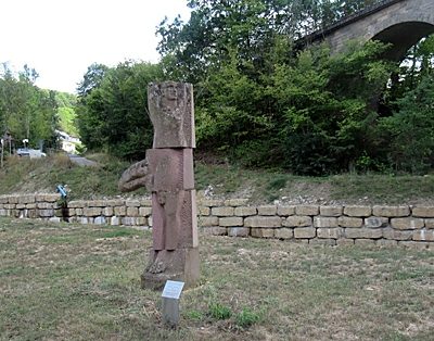 20 m
Works of Art
Skulptur VRIKSHASANA
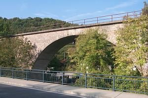 70 m
Railways
Eisenbahnviadukt Irrelermühle
No picture
130 m
Settlements
Unbefestigte Siedlung
No picture
170 m
Roman Tombs
Spätrömische Bestattungen
No picture
190 m
Field Names
Im Ahlsgrund
No picture
260 m
Field Names
Bei Katzenwinkel
No picture
310 m
Field Names
Auf dem Krummrück
No picture
600 m
Fortresses and Bunkers