Railways · Undated
Eisenbahnviadukt Irrelermühle


Classification
- Subject area
- Architectural and Art Monuments
- Object type
- Railways
- Date
- Undatiert
- Period
- Undated
Location
- District
- Eifelkreis Bitburg-Prüm
- Collective municipality
- Südeifel
- Municipality
- Irrel
- Locality / location
- Irrelermühle
- Field name
- Ortslage
- Coordinates
- WGS 84: 49.846391, 6.469064 (Position: within the village) WGS 84: 49° 50′ 47.0″ N, 6° 28′ 08.6″ E UTM 32 (ETRS89): E 318048 · N 5524624
Sources
On the internet
Picture credits
Last edited: 6 Sep 2022 Object ID: 2572
https://kulturdb.de/en/objekt/2572-irrelermuehle-eisenbahnviadukt-irrelermuehle
Nearby
The nearest objects
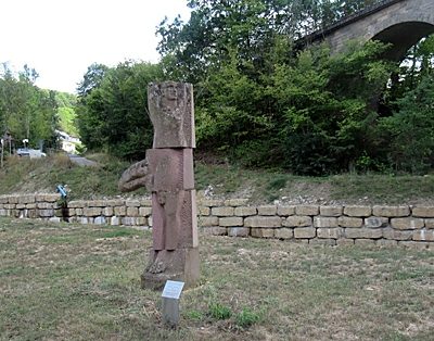 50 m
Works of Art
Skulptur VRIKSHASANA
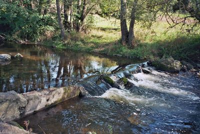 70 m
Mills
Irrelermühle an der Nims
No picture
160 m
Settlements
Unbefestigte Siedlung
No picture
240 m
Roman Tombs
Spätrömische Bestattungen
No picture
250 m
Field Names
Auf dem Krummrück
No picture
260 m
Field Names
Im Ahlsgrund
No picture
330 m
Field Names
Bei Katzenwinkel
No picture
580 m
Fortresses and Bunkers