Trier-Saarburg
12,925 heritage sites in Trier-Saarburg in the Kulturdatenbank Region Trier.
The map shows all 12,925 results.
-
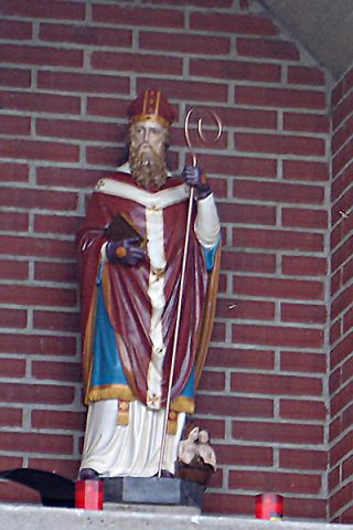
Sankt-Nikolaus-Statue
Religious Buildings Wayside Shrine Houses ID 48417
-
Siedlungsspuren Sanger Rödchen
Settlements Settlements ID 11323
-
Vermuteter Mühlenstandort
Engineering Structures and Industrial Sites Mills ID 17586
-
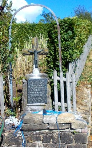
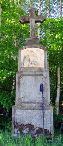
Wegekreuz
Religious Buildings Wayside Shrines and Stations of the Cross ID 48420
-
Wehrer Rosenberg
Natural Landscapes Biodiversity Hotspot ID 52811
-
Wingertsberg
Vineyard Sites ID 39125
-
Auf dem Bennratherhaag
Field Names ID 43826
-
Benrather Hof - Gerichtssitz
Grundherrschafts- und Hochgerichtssitz
Legal Monuments Courthouses ID 6207
-
Benrather Hof - Hofgut
Residential and Farm Buildings Farmhouses and Farm Buildings ID 9541
-
Bei der Leimkaul
Field Names ID 35832
-
Beim Hasenbrunnen
Field Names ID 52987
-
Fundstellen tierischer Versteinerungen
Geological Features Fossils ID 50962
-
Fundstellen tierischer Versteinerungen
Geological Features Fossils ID 50963
-
Fundstellen tierischer Versteinerungen
Geological Features Fossils ID 50964
-
Im Hasenfeld
Field Names ID 52988
-
In der Acht
Field Names ID 35331
-
In der Kehr
Field Names ID 38008
-
In der Langfuhr
Field Names ID 34276
-
In der Leimkaul
Field Names ID 35831
-
In der Schlimmfuhr
Field Names ID 27976
-
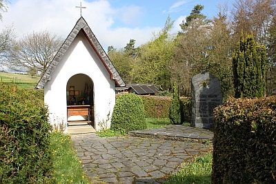
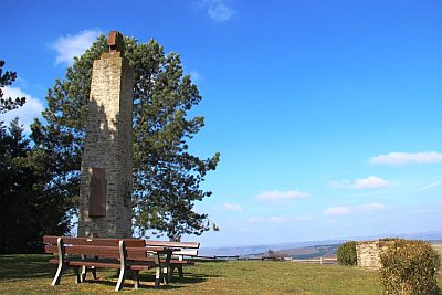
Kriegerdenkmal an der Marienkapelle
Markers and Monuments War Memorials ID 24623
-
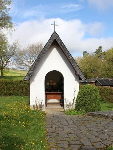
Marienkapelle
Religious Buildings Chapels ID 10592
-
Matheskreuz
Religious Buildings Wayside Shrines and Stations of the Cross ID 26664
-
Ortsname / Ortsgeschichte
Place Names / Local History ID 2734
-
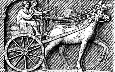
Spuren einer Römerstraße
Economy, Trade and Transport Road Transport ID 4671
-
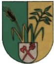
Wappen der Gemeinde Paschel
Coats of Arms ID 2723
-
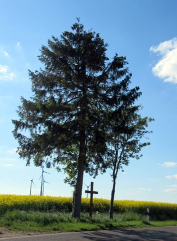
Wegekreuz
Religious Buildings Wayside Shrines and Stations of the Cross ID 26662
-
Wegekreuz
Religious Buildings Wayside Shrines and Stations of the Cross ID 26665
-
Wegekreuz mit Steinguttafel
Religious Buildings Wayside Shrines and Stations of the Cross ID 26663
-
Wegekreuz
Religious Buildings Wayside Shrines and Stations of the Cross ID 26755
-
Westwall - Bunker
Baustärke B1 oder stärker
Fortifications and Military Sites Fortresses and Bunkers ID 22563
-
Westwall - Bunker
Baustärke B1 oder stärker
Fortifications and Military Sites Fortresses and Bunkers ID 22564
-
Hasentanz
Field Names ID 49848
-
Hasentanzlängten
Field Names ID 49847
-
Kimmelwieschen
Field Names ID 33222
-
Am Maiborn
Field Names ID 30851
-
Am Rewerech
Field Names ID 29609
-
Am Wingertspfädchen
Vineyard Sites ID 39159
-
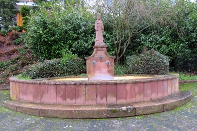
Antoniusbrunnen auf dem Dorfplatz
Fountains and Wells ID 33313
-
Auf Kostersgraben
Field Names ID 48884
-
Auf Kostersgraben längs dem Paschelerweg
Field Names ID 48885
-
Auf der Dreifaltigkeitswies
Field Names ID 24902
-
Auf der Sandkaul
Field Names ID 40702
-
Aussichtspunkt Kriegerdenkmal auf dem Höthkopf
Viewpoints ID 40780
-
Bei den Wacken die Längten
Field Names ID 52636
-
Beim Kostersgraben
Field Names ID 48886
-
Beim dicken Fuchsstein die Längten
Field Names ID 52641