Trier-Saarburg
12,925 heritage sites in Trier-Saarburg in the Kulturdatenbank Region Trier.
The map shows all 12,925 results.
-
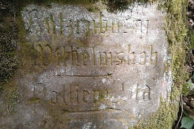
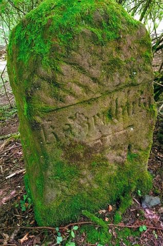
Wegestein beim Schützenhaus
Markers and Monuments Surveying ID 44011
-
Am Grunderweg
Field Names ID 46721
-
Auf der Wangertzbach
Vineyard Sites ID 41726
-
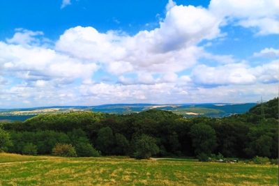
Aussichtspunkt Aacher Höhe
Viewpoints ID 53678
-
Aussichtspunkt Hungelsberg
Viewpoints ID 4256
-
Aussichtspunkt Hungerberg
Viewpoints ID 4257
-
Bei dem Kobenborn
Field Names ID 31072
-
Bei der Haselheck
Field Names ID 53065
-
Bei der Lehmkaul
Field Names ID 35892
-
Beim Kirchengarten
Field Names ID 46117
-
Ehemalige Kirche Sankt Johannes Evangelist
Ehemalige Pfarrkirche
Religious Buildings Catholic Churches ID 26078
-
Ehemaliger Steinbruch
Economy, Trade and Transport Extraction and Processing of Raw Materials ID 34738
-
Ehemaliger Steinbruch
Economy, Trade and Transport Extraction and Processing of Raw Materials ID 44561
-
Ehemaliger Steinbruch
Economy, Trade and Transport Extraction and Processing of Raw Materials ID 44563
-
Ehemaliger Steinbruch
Economy, Trade and Transport Extraction and Processing of Raw Materials ID 52381
-
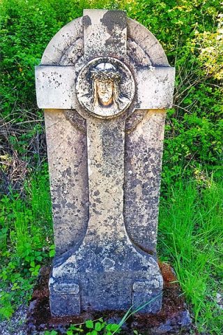
Ehemaliges Wegekreuz
Religious Buildings Wayside Shrines and Stations of the Cross ID 3
-
Erste Erwähnung als Sarceni
Place Names / Local History ID 2442
-
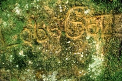
Felsinschrift
Markers and Monuments Inscriptions ID 57464
-
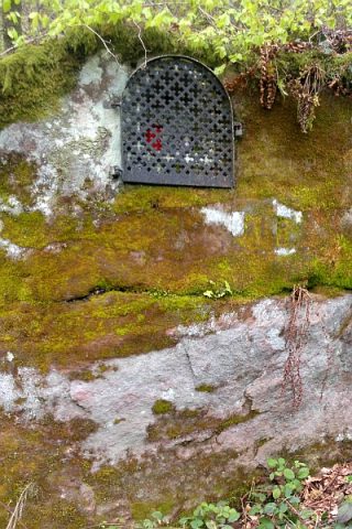
Felsnische mit Heiligenfigur
Religious Buildings Wayside Shrines and Stations of the Cross ID 43977
-
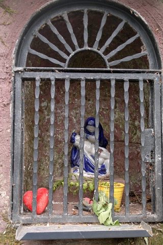
Felsnische mit Pietà
Religious Buildings Wayside Shrines and Stations of the Cross ID 43979
-
Frührömische Ansiedlung
Settlements Settlements ID 12446
-
Gemeindenborn
Field Names ID 31050
-
Gewann Der Galgenberg
Legal Monuments Execution Sites ID 25775
-
Großer Grabhügel
Burials Burial Mounds ID 12443
-
Historischer Aussichtspunkt
Viewpoints ID 57600
-
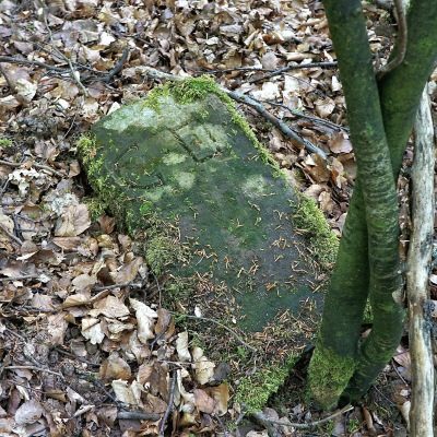
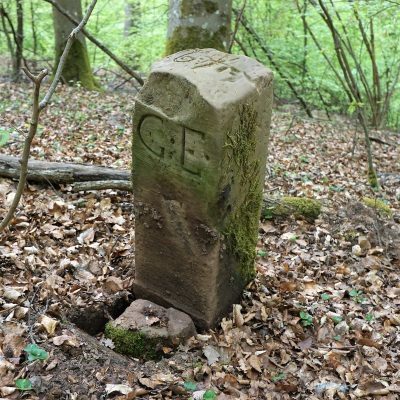
Historischer Grenzstein
Markers and Monuments Surveying ID 50531
-
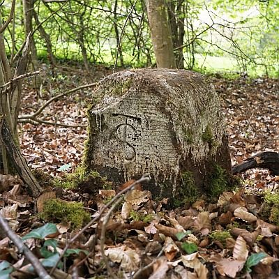
Historischer Grenzstein
Markers and Monuments Surveying ID 50532
-
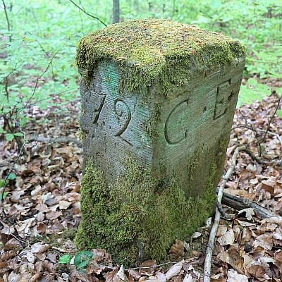
Historischer Grenzstein
Markers and Monuments Surveying ID 50533
-
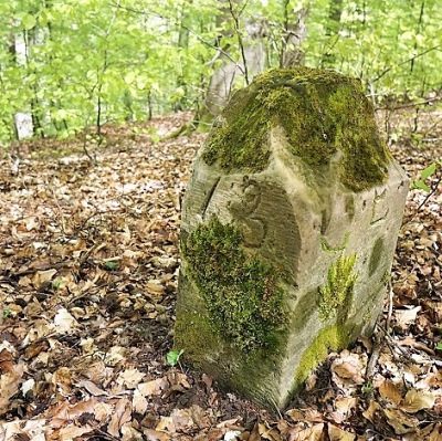
Historischer Grenzstein
Markers and Monuments Surveying ID 50534
-
Historischer Grenzstein
Markers and Monuments Surveying ID 50535
-
Historischer Wegestein Katzenbusch
Markers and Monuments Surveying ID 55109
-
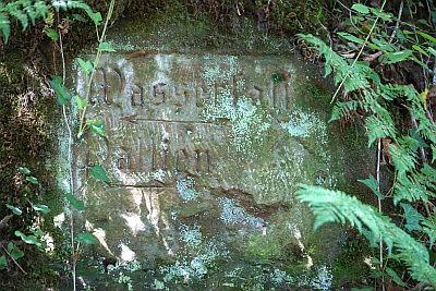
Historischer Wegestein am Wasserfall
Markers and Monuments Surveying ID 44576
-
Im Grund
Field Names ID 46820
-
In der Acht
Field Names ID 35313
-
Kalkstein-Abbau
Economy, Trade and Transport Extraction and Processing of Raw Materials ID 8378
-
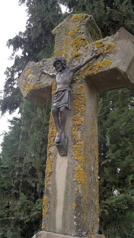
Nischenkreuz
Religious Buildings Wayside Shrines and Stations of the Cross ID 30294
-
Oben auf Hungersberg
Field Names ID 39012
-
Ober der Schultheiswies
Field Names ID 34666
-
Paterbude im Busental
Religious Buildings Hermitages ID 57463
-
Prähistorische Brandgräber
Burials Cremation Graves ID 12461
-
Rommelsborn
Field Names ID 31071
-
Römische Siedlungsstelle
Settlements Settlements ID 11884
-
Römische Siedlungsstelle
Settlements Settlements ID 11886
-
Römische Siedlungsstelle
Settlements Settlements ID 11887
-
Römische Wegkapelle
Religious Buildings Temples, Sanctuaries ID 12900
-
Römischer Grabhügel mit Umfassungsmauer
Burials Burial Mounds ID 14798
-
Römischer Töpferofen
Economy, Trade and Transport Extraction and Processing of Raw Materials ID 12742