Vulkaneifel
7,758 heritage sites in Vulkaneifel in the Kulturdatenbank Region Trier.
The map shows all 7,758 results.
-
Westwall - Schartenstand
Fortifications and Military Sites Fortresses and Bunkers ID 20133
-
Westwall - Schartenstand
Fortifications and Military Sites Fortresses and Bunkers ID 20134
-
Westwall - Schartenstand
Fortifications and Military Sites Fortresses and Bunkers ID 20135
-
Westwall - Schartenstand
Fortifications and Military Sites Fortresses and Bunkers ID 20136
-
Westwall - Schartenstand
Fortifications and Military Sites Fortresses and Bunkers ID 20138
-
Westwall - Schartenstand
Fortifications and Military Sites Fortresses and Bunkers ID 20139
-
Westwall - Schartenstand
Fortifications and Military Sites Fortresses and Bunkers ID 20140
-
Westwall - Schartenstand
Fortifications and Military Sites Fortresses and Bunkers ID 20141
-
Westwall - Schartenstand
Fortifications and Military Sites Fortresses and Bunkers ID 20142
-
Westwall - Schartenstand
Fortifications and Military Sites Fortresses and Bunkers ID 20144
-
Westwall - Schartenstand
Fortifications and Military Sites Fortresses and Bunkers ID 20145
-
Westwall - Schartenstand
Fortifications and Military Sites Fortresses and Bunkers ID 20146
-
Westwall - Schartenstand
Fortifications and Military Sites Fortresses and Bunkers ID 20147
-
Westwall - Schartenstand
Fortifications and Military Sites Fortresses and Bunkers ID 20148
-
Westwall - Schartenstand
Fortifications and Military Sites Fortresses and Bunkers ID 20149
-
Westwall - Schartenstand
Fortifications and Military Sites Fortresses and Bunkers ID 20156
-
Westwall - Schartenstand
Fortifications and Military Sites Fortresses and Bunkers ID 20157
-
Westwall - Schartenstand
Fortifications and Military Sites Fortresses and Bunkers ID 20159
-
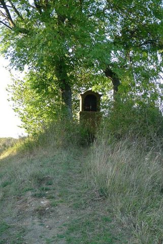
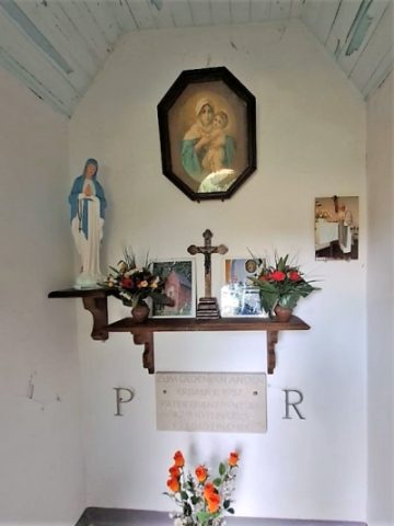
Heiligenhäuschen am Mühlenbach
Religious Buildings Wayside Shrine Houses ID 17559
-
Am Schießgraben
Field Names ID 44109
-
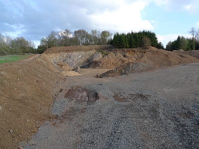
Lavaabbau Flur Kreuzkaul auf dem Berg
Economy, Trade and Transport Extraction and Processing of Raw Materials ID 18495
-
Schießgraben an der Lehmkaul
Field Names ID 35932
-
Schießgraben in der Kirchenspitz
Field Names ID 46360
-
Schlackenkegel
Geological Features Volcanoes ID 30228
-
Schlackenkegel südöstlich Flemmingshöhe
Geological Features Volcanoes ID 30229
-
Tephraschlot
Geological Features Volcanoes ID 30230
-
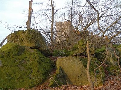
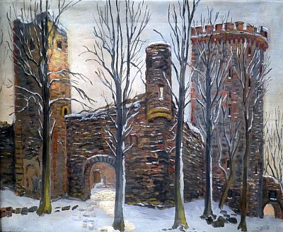
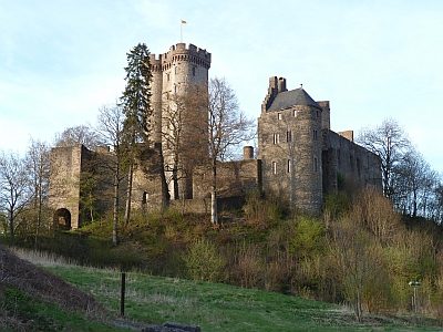
Kasselburg
Fortifications and Military Sites Castles ID 908
-
Altstraßbach
Religious Buildings Chapels ID 52614
-
Am Mühlenrech
Field Names ID 29940
-
An der Held
Field Names ID 40301
-
An hinterst Seiderath
Field Names ID 43798
-
Auf Alster zur Taufkaul
Field Names ID 48900
-
Auf Bannenpesch
Field Names ID 27400
-
Auf Henkerpesch
Field Names ID 27401
-
Auf Hottesrech
Field Names ID 29953
-
Auf der Kehr
Field Names ID 38129
-
Auf der Kreust zu Grundacker
Field Names ID 46735
-
Auf der Ofenkaul
Field Names ID 38342
-
Auf der Weimerheld
Field Names ID 40305
-
Aufm Winkel
Field Names ID 39909
-
Die Ofenkaul
Field Names ID 38341