Vulkaneifel
7,758 heritage sites in Vulkaneifel in the Kulturdatenbank Region Trier.
The map shows all 7,758 results.
-
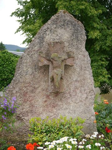
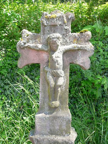
Kreuzfragment aus Sandstein
Religious Buildings Wayside Shrines and Stations of the Cross ID 25188
-
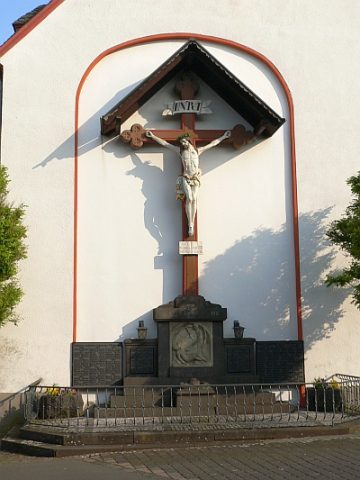
Kriegerdenkmal 1914/18
Markers and Monuments War Memorials ID 29303
-
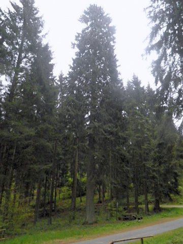
Königsfichte bei Pelm
Trees Spruces ID 2598
-
Lanzenlei und Seiderath
Field Names ID 43876
-
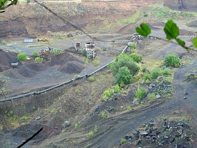
Lavatagebau Baarley
Economy, Trade and Transport Extraction and Processing of Raw Materials ID 4486
-
Lehmacht bei der Eisenkaul
Field Names ID 36579
-
Massivbau
Residential and Farm Buildings Town Houses and Commercial Buildings ID 16592
-
Mühlsteinbruch Barley
Economy, Trade and Transport Extraction and Processing of Raw Materials ID 24130
-
Mühlsteinbruch Große Kreuzkaul
Economy, Trade and Transport Extraction and Processing of Raw Materials ID 24194
-
Mühlsteinbruch Kasselburger Hahn
Economy, Trade and Transport Extraction and Processing of Raw Materials ID 24119
-
Mühlsteinbruch Kleine Kreuzkaul
Economy, Trade and Transport Extraction and Processing of Raw Materials ID 24193
-
Mühlsteinbruch Schankrech
Economy, Trade and Transport Extraction and Processing of Raw Materials ID 24196
-
Mühlsteinbruch Schankrech
Economy, Trade and Transport Extraction and Processing of Raw Materials ID 24212
-
Mühlsteinbruch Sellbüsch
Economy, Trade and Transport Extraction and Processing of Raw Materials ID 24195
-
Mühlsteinbruch am Nordhang der Dietzenley
Economy, Trade and Transport Extraction and Processing of Raw Materials ID 24149
-
Mühlsteinbruch südöstlich Flemmingshöhe
Economy, Trade and Transport Extraction and Processing of Raw Materials ID 24197
-
Mühlsteinbruch zwischen Hahn und Kasselburg
Economy, Trade and Transport Extraction and Processing of Raw Materials ID 24120
-
Mühlsteinbrüche
Wüstung
Economy, Trade and Transport Extraction and Processing of Raw Materials ID 907
-
Ortsgeschichte Pelm
Place Names / Local History ID 1586
-
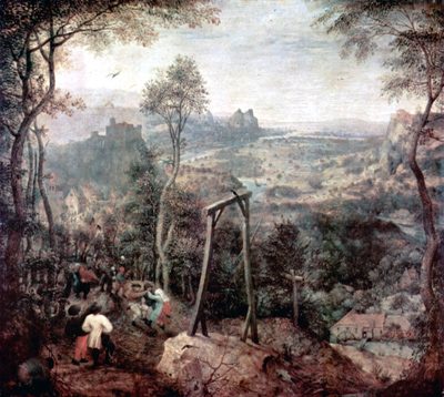
Richtstätte Auf Michelswies am Henkersbach
Legal Monuments Execution Sites ID 51716
-
Römische Villa Pelm
Settlements Settlements ID 12122
-
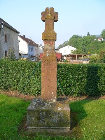
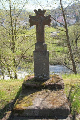
Sandsteinkreuz
Religious Buildings Wayside Shrines and Stations of the Cross ID 25190
-
Schankrech
Field Names ID 29923
-
Schlackenkegel
Geological Features Volcanoes ID 30227
-
Seiderath
Field Names ID 43843
-
Trierer Haus
Residential and Farm Buildings Farmhouses and Farm Buildings ID 34593
-
Unter den Weiden in den Gemeindewiesen
Field Names ID 52046
-
Unter der Ofenkaul
Field Names ID 38344
-
Uters-Kreuz
Religious Buildings Wayside Shrines and Stations of the Cross ID 25192
-
Vermutetes Hügelgräberfeld
Burials Burial Mounds ID 12975
-
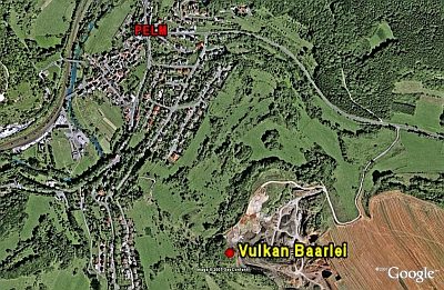
Vulkan Baarley
Geological Features Volcanoes ID 6648
-
Vulkan Geißhecke
Geological Features Volcanoes ID 30253
-
Vulkan Kreuzkaul
Geological Features Volcanoes ID 30200
-
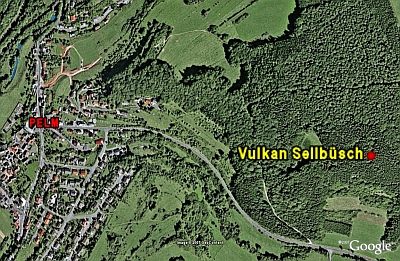
Vulkan Sellbüsch
Geological Features Volcanoes ID 6660
-
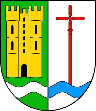
Wappen der Gemeinde Pelm
Coats of Arms ID 1587
-
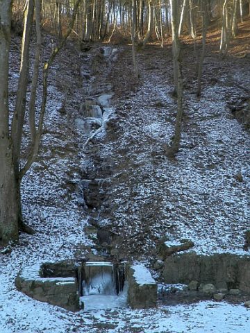
Wasserfall am Hedenborn
Waterfalls ID 23994
-
Wegekreuz
Religious Buildings Wayside Shrines and Stations of the Cross ID 25189
-
Wegekreuz
Religious Buildings Wayside Shrines and Stations of the Cross ID 25191
-
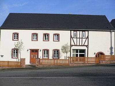
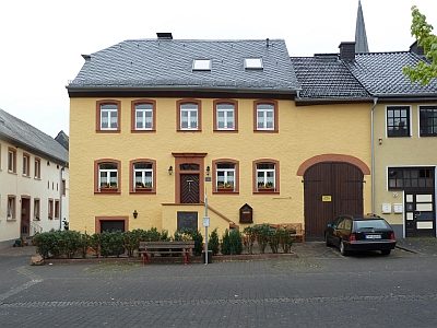
Wohnhaus
Residential and Farm Buildings Farmhouses and Farm Buildings ID 16593
-
Wohnhaus mit Ökonomietrakt
Residential and Farm Buildings Farmhouses and Farm Buildings ID 16594
-
Wolfsmühle
Engineering Structures and Industrial Sites Mills ID 10831