Vulkaneifel

7,758 heritage sites in Vulkaneifel in the Kulturdatenbank Region Trier.

7,758 objects · 5,713–5,760

  1. Gerolsteiner Schlossbrunnen

    Aus einem Reisebericht von 1911

    Pelm, Schlossbrunnen Gerolstein 1876

    Springs Mineral Springs ID 41061

  2. Gerolsteiner Schlossbrunnen

    Aus einem Reisebericht von 1911

    Pelm, Schlossbrunnen Gerolstein 1876

    Springs Mineral Springs ID 41062

  3. Gerolsteiner Schlossbrunnen

    Aus einem Reisebericht von 1911

    Pelm, Schlossbrunnen Gerolstein 1876

    Springs Mineral Springs ID 41063

  4. Gerolsteiner Schlossbrunnen

    Aus einem Reisebericht von 1911

    Pelm, Schlossbrunnen Gerolstein 1876

    Springs Mineral Springs ID 41064

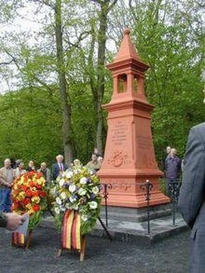
  5. Denkmal zum Eisenbahnunglück (1)

    Pelm, Schloßbrunnen 18.05.1897

    Markers and Monuments Monuments ID 5151

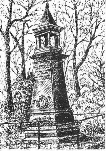
  6. Denkmal zum Eisenbahnunglück (2)

    Pelm, Schloßbrunnen 18.05.1897

    Markers and Monuments Monuments ID 30082

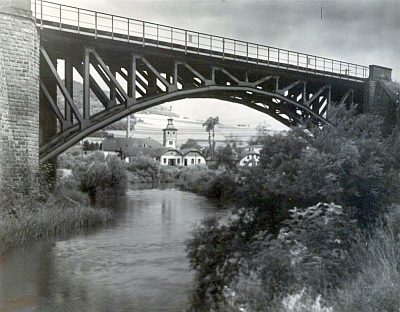
  7. Ehemalige Eisenbahnbrücke über die Kyll

    Pelm, Schloßbrunnen Gerolstein Circa 1850 bis 1920

    Engineering Structures and Industrial Sites Railways ID 25831

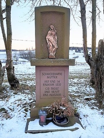
  8. Bildnische

    Reimerath, Bruchhausen, Hauptstraße Undatiert

    Religious Buildings Wayside Shrines and Stations of the Cross ID 30369

  9. Erste Erwähnung von Brochhußen

    Reimerath, Bruchhausen 1409

    Place Names / Local History ID 3135

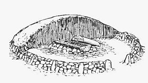
  10. Grabhügel

    Reimerath Undatiert

    Burials Burial Mounds ID 12868

  11. Kaiserlinde mit Gedenkstein

    Reimerath 1913

    Markers and Monuments Commemorative Plantings ID 6944

  12. Ortsgeschichte Reimerath

    Reimerath 1216

    Place Names / Local History ID 3134

  13. Sankt Maria Rosenkranzkönigin

    Katholische Filialkirche

    Reimerath, Hauptstraße 17 1950

    Religious Buildings Catholic Churches ID 5596

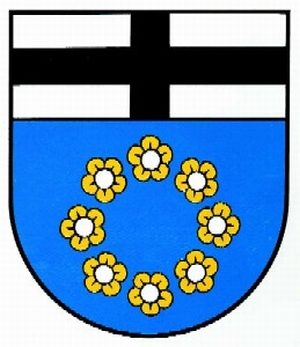
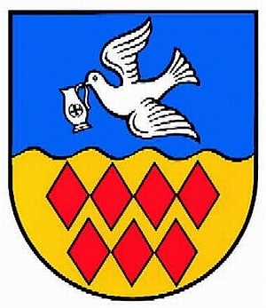
  14. Wappen der Gemeinde Reimerath

    Reimerath Undatiert

    Coats of Arms ID 10069

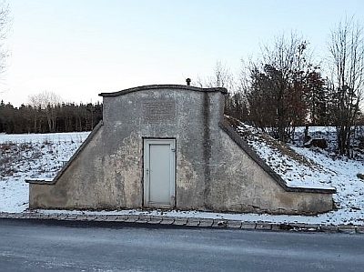
  15. Wasserwerk Reimerath

    Reimerath 1922

    Water Supply Waterworks ID 50357

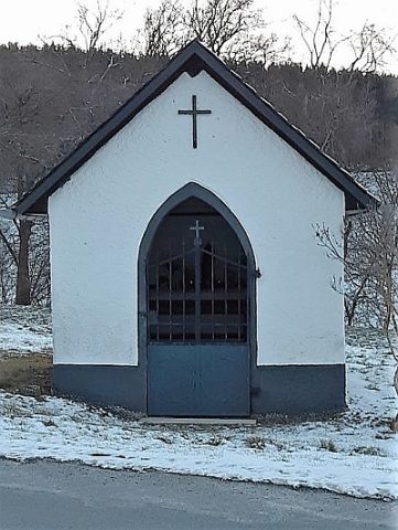
  16. Wegekapelle

    Reimerath 19. Jahrhundert

    Religious Buildings Chapels ID 22939

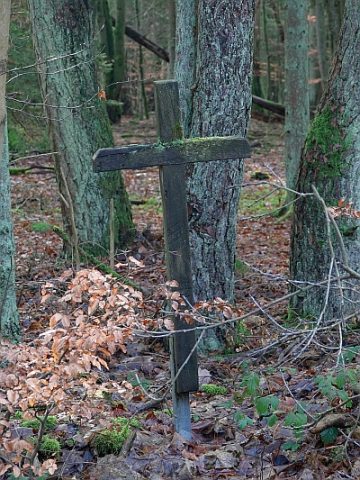
  17. Wegekreuz

    Reimerath, Gegenüber Schulheiserweg 2 Undatiert

    Religious Buildings Wayside Shrines and Stations of the Cross ID 22940

  18. Auf Born Besch

    Retterath Undatiert

    Field Names ID 32260

  19. Auf der Leimkaul

    Retterath Undatiert

    Field Names ID 35870

  20. Bei Schüffers Sur

    Retterath Undatiert

    Field Names ID 40803

  21. Einraumtiefes Haus

    Retterath, Brunnenstraße 2 Undatiert

    Residential and Farm Buildings Farmhouses and Farm Buildings ID 16461

  22. Fachwerkhaus

    Retterath, Hauptstraße 13 Undatiert

    Residential and Farm Buildings Farmhouses and Farm Buildings ID 16462

  23. Fachwerkhaus

    Retterath, Hauptstraße 18 Undatiert

    Residential and Farm Buildings Farmhouses and Farm Buildings ID 16463

  24. Fachwerkhaus

    Retterath, Kirchstraße 1 Undatiert

    Residential and Farm Buildings Farmhouses and Farm Buildings ID 16464

  25. Fachwerkhaus

    Retterath, Hauptstraße 27 A 18. Jahrhundert

    Residential and Farm Buildings Farmhouses and Farm Buildings ID 35176

  26. Flachsberg

    Retterath Undatiert

    Field Names ID 36112

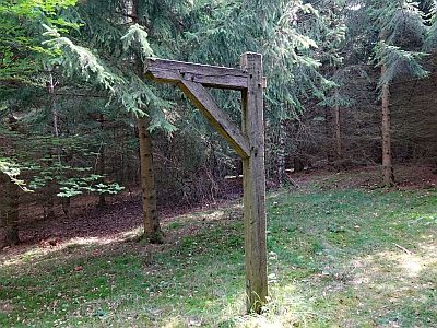
  27. Galgen

    Geschichtsstraße - Station 13

    Retterath Circa 1500 bis circa 1700

    Legal Monuments Execution Sites ID 6311

  28. Grabhügel

    Retterath Undatiert

    Burials Burial Mounds ID 5057

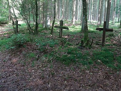
  29. Gruppe von drei Wegekreuzen am Eulenberg

    Retterath Undatiert

    Religious Buildings Wayside Shrines and Stations of the Cross ID 22951

  30. Kaiserlinde mit Gedenkstein

    Retterath, Hauptstraße 1913

    Markers and Monuments Commemorative Plantings ID 6945

  31. Kirchenwald

    Retterath Undatiert

    Field Names ID 46319

  32. Leimkaul

    Retterath Undatiert

    Field Names ID 35869

  33. Ortsgeschichte Retterath

    Retterath 1052

    Place Names / Local History ID 3136

  34. Putzbau

    Retterath, Zu Brunnenstraße 1 1880 [Angeblich]

    Residential and Farm Buildings Farmhouses and Farm Buildings ID 35175

  35. Römische Siedlungsstelle

    Retterath 3. und erste Hälfte des 4. Jahrhunderts

    Settlements Settlements ID 11840

  36. Römische Wasserleitung

    Retterath Circa 500 vor Chr. bis circa 500 nach Chr.

    Water Supply ID 12391

  37. Sankt Remigius

    Katholische Pfarrkirche

    Retterath, Kirchstraße 1862

    Religious Buildings Catholic Churches ID 990

  38. Sankt Remigius - Friedhofs- oder Missionskreuz

    Retterath, Kirchstraße 1841

    Religious Buildings Wayside Shrines and Stations of the Cross ID 13500

  39. Sankt Remigius - Orgel

    Katholische Pfarrkirche

    Retterath, Kirchstraße 1905

    Organs ID 13501

  40. Wappen der Gemeinde Retterath

    Retterath Undatiert

    Coats of Arms ID 10070

  41. Wegekreuz

    Retterath Undatiert

    Religious Buildings Wayside Shrines and Stations of the Cross ID 34261

  42. Wegekreuz

    Retterath, Hauptstraße 29 Undatiert

    Religious Buildings Wayside Shrines and Stations of the Cross ID 34263

  43. Wegekreuz

    Retterath, Hauptstraße 18 1751

    Religious Buildings Wayside Shrines and Stations of the Cross ID 34264

  44. Wegekreuz

    Retterath, Hauptstraße 6 Undatiert

    Religious Buildings Wayside Shrines and Stations of the Cross ID 34265

  45. Erste Erwähnung als Seelchenroede

    Retterath, Salcherath 16.12.1457

    Place Names / Local History ID 3137

  46. Salcherpesch

    Retterath, Salcherath Undatiert

    Field Names ID 27414

  47. Wegekreuz

    Retterath, Salcherath, Gegenüber Arbacher Straße 5 Undatiert

    Religious Buildings Wayside Shrines and Stations of the Cross ID 34262
  48. Weinstraße (13)

    Fernhandelsweg Koblenz-Lüttich

    Reuth, Neureuth 893 [Prümer Urbar]

    Economy, Trade and Transport Road Transport ID 11681