Railways · Historicism / Art Nouveau
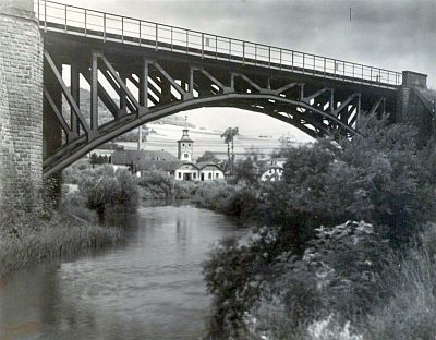
Ehemalige Eisenbahnbrücke über die Kyll

Classification
- Subject area
- Architectural and Art Monuments
- Object type
- Railways
- Date
- Circa 1850 bis 1920
Location
- District
- Vulkaneifel
- Collective municipality
- Gerolstein
- Municipality
- Pelm
- Locality / location
- Schloßbrunnen Gerolstein
- Field name
- In Hottes an der Kyll
- Coordinates
- WGS 84: 50.241670, 6.691553 (Position: exact) WGS 84: 50° 14′ 30.0″ N, 6° 41′ 29.6″ E UTM 32 (ETRS89): E 335399 · N 5568051
Sources
Data sources
- [1] Fredy Lange (undatiert). Sammlung Wilma Herzog, Gerolstein, 2012. © Edith Lange-Löckenhoff.
- [2] Topographische Karte von 1895.
On the internet
Picture credits
- Picture 1: Fredy Lange (undatiert). Sammlung Wilma Herzog, Gerolstein, 2012. © Edith Lange-Löckenhoff.
Last edited: 9 Dec 2012 Object ID: 25831
https://kulturdb.de/en/objekt/25831-pelm-ehemalige-eisenbahnbruecke-ueber-die-kyll
Nearby
The nearest objects
 120 m
Mineral Springs
Gerolsteiner Schlossbrunnen
No picture
210 m
Field Names
Auf Hottesrech
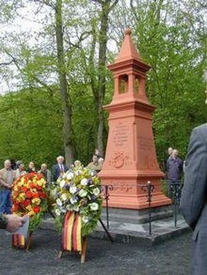 240 m
Monuments
Denkmal zum Eisenbahnunglück (1)
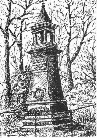 240 m
Monuments
Denkmal zum Eisenbahnunglück (2)
No picture
250 m
Field Names
Lanzenlei und Seiderath
250 m
Mineral Springs
Gerolsteiner Schlossbrunnen
 270 m
Oaks
Eiche am Schlossbrunnen
450 m
Mineral Springs