Wayside Shrines and Stations of the Cross · Undated
Wegekreuz


Description
This description is only available in German.
Translate with Google opens this page in Google Translate (external service)
Auf Höhenpunkt 490,0 Meter über Normal-Null. Hier stoßen die Gemeindgrenzen von Retterath, Arbach und Oberelz aufeinander. [1]
Classification
- Subject area
- Architectural and Art Monuments
- Category
- Religious Buildings
- Object type
- Wayside Shrines and Stations of the Cross
- Date
- Undatiert
- Period
- Undated
Location
- District
- Vulkaneifel
- Collective municipality
- Kelberg
- Municipality
- Retterath
- Field name
- Eulenberg
- Coordinates
- WGS 84: 50.274890, 7.029546 (Position: exact) WGS 84: 50° 16′ 29.6″ N, 7° 01′ 46.4″ E UTM 32 (ETRS89): E 359595 · N 5571052
Sources
Data sources
- [1] Franz-Josef Dosio, Wierschem, 2018.
On the internet
vgv-kelberg.de/vg_kelberg/Gemeinden/Retterath
Picture credits
Last edited: 18 Jan 2018 Object ID: 34261
https://kulturdb.de/en/objekt/34261-retterath-wegekreuz
Nearby
The nearest objects
Forest Names
Hasenbusch
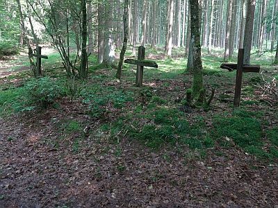 510 m
Wayside Shrines and Stations of the Cross
Gruppe von drei Wegekreuzen am Eulenberg
Field Names
Ober Teufelsbach
Field Names
Kirchenwald
Field Names
Teufelsbach
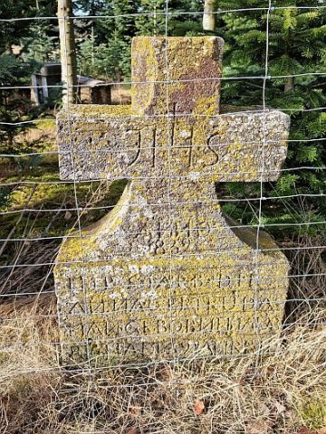 730 m
Wayside Shrines and Stations of the Cross
Wegekreuz
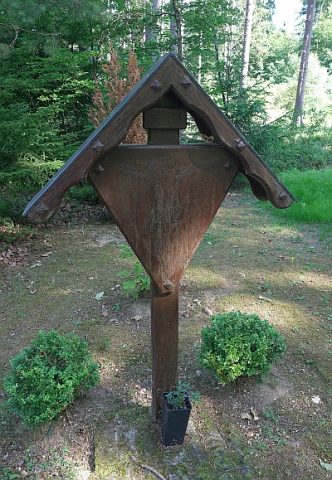 880 m
Wayside Shrines and Stations of the Cross
Waldkapellchen - Kreuz
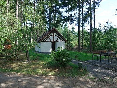 880 m
Post Offices