Retterath
30 heritage sites in Retterath in the Kulturdatenbank Region Trier.
The map shows all 30 results.
-
Auf Born Besch
Field Names ID 32260
-
Auf der Leimkaul
Field Names ID 35870
-
Bei Schüffers Sur
Field Names ID 40803
-
Einraumtiefes Haus
Residential and Farm Buildings Farmhouses and Farm Buildings ID 16461
-
Fachwerkhaus
Residential and Farm Buildings Farmhouses and Farm Buildings ID 16462
-
Fachwerkhaus
Residential and Farm Buildings Farmhouses and Farm Buildings ID 16463
-
Fachwerkhaus
Residential and Farm Buildings Farmhouses and Farm Buildings ID 16464
-
Fachwerkhaus
Residential and Farm Buildings Farmhouses and Farm Buildings ID 35176
-
Flachsberg
Field Names ID 36112
-
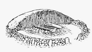
Grabhügel
Burials Burial Mounds ID 5057
-
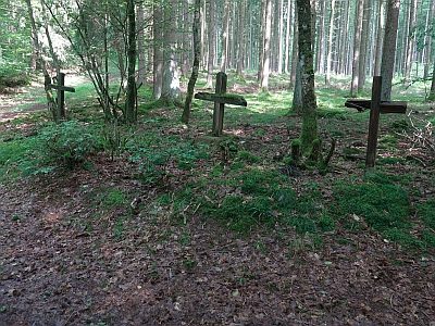
Gruppe von drei Wegekreuzen am Eulenberg
Religious Buildings Wayside Shrines and Stations of the Cross ID 22951
-
Kaiserlinde mit Gedenkstein
Markers and Monuments Commemorative Plantings ID 6945
-
Kirchenwald
Field Names ID 46319
-
Leimkaul
Field Names ID 35869
-
Ortsgeschichte Retterath
Place Names / Local History ID 3136
-
Putzbau
Residential and Farm Buildings Farmhouses and Farm Buildings ID 35175
-
Römische Siedlungsstelle
Settlements Settlements ID 11840
-
Römische Wasserleitung
Water Supply ID 12391
-
Sankt Remigius - Friedhofs- oder Missionskreuz
Religious Buildings Wayside Shrines and Stations of the Cross ID 13500
-
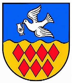
Wappen der Gemeinde Retterath
Coats of Arms ID 10070
-
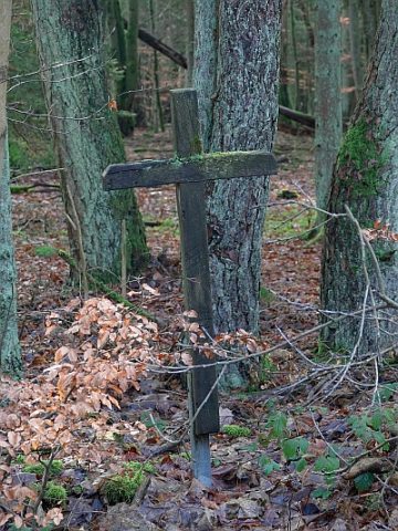
Wegekreuz
Religious Buildings Wayside Shrines and Stations of the Cross ID 34261
-
Wegekreuz
Religious Buildings Wayside Shrines and Stations of the Cross ID 34263
-
Wegekreuz
Religious Buildings Wayside Shrines and Stations of the Cross ID 34264
-
Wegekreuz
Religious Buildings Wayside Shrines and Stations of the Cross ID 34265
-
Erste Erwähnung als Seelchenroede
Place Names / Local History ID 3137
-
Salcherpesch
Field Names ID 27414
-
Wegekreuz
Religious Buildings Wayside Shrines and Stations of the Cross ID 34262