Place Names / Local History · Early Middle Ages / Romanesque
Ortsgeschichte Retterath


© GeoBasis-DE / LVermGeoRP, dl-de/by-2-0
There is no picture of this object yet. Do you have a photo that you would like to make available to the Kulturdatenbank? Submit a picture
Description
This description is only available in German.
Translate with Google opens this page in Google Translate (external service)
1052 Rethoroth
Um 1200 (1220) Rechte des Erzbischofs in Rethirrode.
Am 28. Februar 1203 ist Gottfried von Reterode Zeuge einer Urkunde. Zu der Urkunde um 1100 (irrtümlich 954), siehe unter Welcherath.
Retenrode, Reterot, Retherrode, Retoroth, Retterod, Retterot.
1444 Redroid.
1409 Ritteraht, Reiteraht. [1]
Classification
- Subject area
- History
- Category
- Place Names / Local History
- Date
- 1052
Location
- District
- Vulkaneifel
- Collective municipality
- Kelberg
- Municipality
- Retterath
- Field name
- Ortslage
- Coordinates
- WGS 84: 50.271477, 7.015860 (Position: within the village) WGS 84: 50° 16′ 17.3″ N, 7° 00′ 57.1″ E UTM 32 (ETRS89): E 358610 · N 5570699
Sources
Data sources
- [1] Erich Mertes-Kolverath: Die Dörfer der Verbandsgemeinde Kelberg, Ihre erste Erwähnung und Nennung in der Literatur. Landeskundliche Vierteljahresblätter. Jahrgang 32, 1986, Heft 3, (Auszug)
On the internet
Last edited: 3 May 2001 Object ID: 3136
https://kulturdb.de/en/objekt/3136-retterath-ortsgeschichte-retterath
Nearby
The nearest objects
 less than 10 m
Coats of Arms
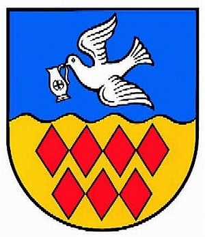
Wappen der Gemeinde Retterath
Farmhouses and Farm Buildings
Fachwerkhaus
 20 m
Commemorative Plantings
Kaiserlinde mit Gedenkstein
Wayside Shrines and Stations of the Cross
Wegekreuz
Farmhouses and Farm Buildings
Fachwerkhaus
Farmhouses and Farm Buildings
Fachwerkhaus
Water Supply
Römische Wasserleitung
Wayside Shrines and Stations of the Cross