Chapels · Historicism / Art Nouveau
Wegekapelle
- Listed monument


Description
This description is only available in German.
Translate with Google opens this page in Google Translate (external service)
Putzbau, wohl aus dem 19. Jahrhundert. [1]
Classification
- Subject area
- Architectural and Art Monuments
- Category
- Religious Buildings
- Object type
- Chapels
- Date
- 19. Jahrhundert
Location
- District
- Vulkaneifel
- Collective municipality
- Kelberg
- Municipality
- Reimerath
- Field name
- Auf dem Weigen
- Coordinates
- WGS 84: 50.307460, 6.956770 (Position: exact) WGS 84: 50° 18′ 26.9″ N, 6° 57′ 24.4″ E UTM 32 (ETRS89): E 354509 · N 5574813
Sources
Data sources
- [1] Seite „Liste der Kulturdenkmäler in Reimerath“. In: Wikipedia, Die freie Enzyklopädie. Bearbeitungsstand: 13. Mai 2020, 18:59 UTC. URL: https://de.wikipedia.org/w/index.php?title=Liste_der_Kulturdenkm%C3… (Abgerufen: 18. Februar 2021, 09:35 UTC)
On the internet
vgv-kelberg.de/gemeinden/reimerath
Picture credits
- Picture 1: © Sandra Wack, Neuheilenbach, 2021. www.koerbchen-gesucht.de
- Picture 2: © Sandra Wack, Neuheilenbach, 2021. www.koerbchen-gesucht.de
- Picture 3: © Sandra Wack, Neuheilenbach, 2021. www.koerbchen-gesucht.de
- Picture 4: © Sandra Wack, Neuheilenbach, 2021. www.koerbchen-gesucht.de
- Picture 5: © Sandra Wack, Neuheilenbach, 2021. www.koerbchen-gesucht.de
- Picture 6: © Sandra Wack, Neuheilenbach, 2021. www.koerbchen-gesucht.de
Last edited: 18 Feb 2021 Object ID: 22939
https://kulturdb.de/en/objekt/22939-reimerath-wegekapelle
Nearby
The nearest objects
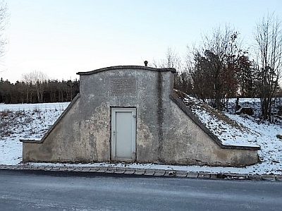 20 m
Waterworks
Wasserwerk Reimerath
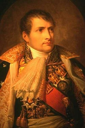 230 m
Commemorative Plantings
Kaiserlinde mit Gedenkstein
No picture
330 m
Place Names / Local History
Ortsgeschichte Reimerath
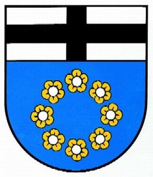 330 m
Coats of Arms
Wappen der Gemeinde Reimerath
No picture
370 m
Wayside Shrines and Stations of the Cross
Wegekreuz
No picture
470 m
Catholic Churches
Sankt Maria Rosenkranzkönigin
No picture
620 m
Field Names
Im Hermentriesch
No picture
690 m
Place Names / Local History