Waterfalls · 20th Century
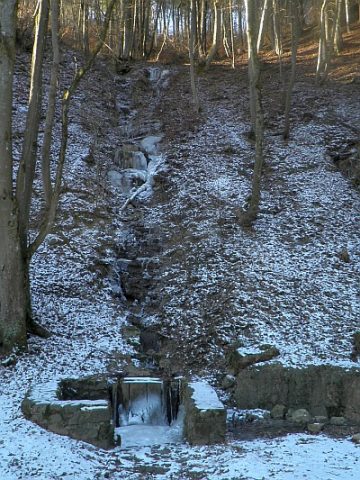
Wasserfall am Hedenborn
- Listed monument


Description
This description is only available in German.
Translate with Google opens this page in Google Translate (external service)
Hedenborn Wasserfall, der mit einer Schüttung von nur 25 und 66 m³ Wasser am Tag ein eher beschauliches Ereignis ist. [1]
Classification
- Subject area
- Natural Features
- Category
- Waterfalls
- Date
- 12.09.1941 [Unterschutzstellung]
- Period
- 20th Century
Location
- District
- Vulkaneifel
- Collective municipality
- Gerolstein
- Municipality
- Pelm
- Field name
- Auf der Langwies
- Coordinates
- WGS 84: 50.228670, 6.678180 (Position: exact) WGS 84: 50° 13′ 43.2″ N, 6° 40′ 41.4″ E UTM 32 (ETRS89): E 334401 · N 5566635
Sources
Data sources
- [1] Wunderbare Welt des Wassers im Gerolsteiner Land. Tourist-Information Gerolsteiner Land
- touristinfo@gerolsteiner-land.de / www.gerolsteiner-land.de
On the internet
Picture credits
Last edited: 18 Feb 2012 Object ID: 23994
https://kulturdb.de/en/objekt/23994-pelm-wasserfall-am-hedenborn
Nearby
The nearest objects
 less than 10 m
Springs
Hedenborn
No picture
140 m
Extraction and Processing of Raw Materials
Ehemaliger Steinbruch
 170 m
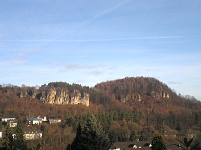
Rocks
Hustley
 240 m
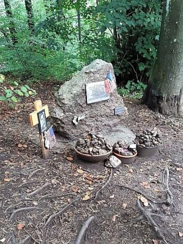
Monuments
Gedenkstein an der Hustley
 260 m
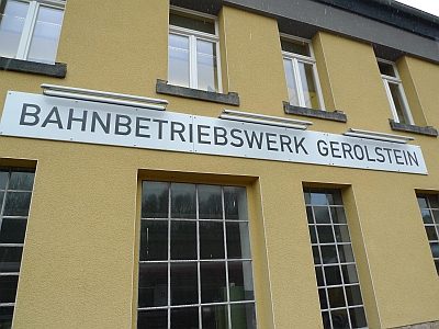
Railways
Ehemaliges Bahnbetriebswerk (1)
 300 m
Railways
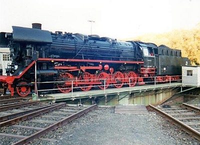
Ehemaliges Bahnbetriebswerk - Drehscheibe
 340 m
Railways
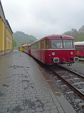
Ehemaliges Bahnbetriebswerk (2)
No picture
380 m
Extraction and Processing of Raw Materials