Vulkaneifel
7,758 heritage sites in Vulkaneifel in the Kulturdatenbank Region Trier.
The map shows all 7,758 results.
-
Grabhügelgruppe
Burials Burial Mounds ID 3640
-
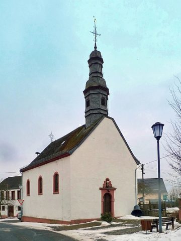
Heiligenhäuschen
Religious Buildings Wayside Shrine Houses ID 30118
-
Hinter Arenspesch
Field Names ID 27523
-
Im Bungert
Field Names ID 28212
-
Im Kirchenpützchen
Field Names ID 46192
-
In Arenspesch
Field Names ID 27525
-
In Hechelroth
Field Names ID 43523
-
In der Neitzendell
Field Names ID 45332
-
In der Sauerwies
Field Names ID 34490
-
In der Wolferbach
Field Names ID 36970
-
Kalkstein-Abbau
Economy, Trade and Transport Extraction and Processing of Raw Materials ID 7422
-
Kalkstein-Abbau
Economy, Trade and Transport Extraction and Processing of Raw Materials ID 41459
-
Lennertspesch
Field Names ID 27526
-
Ober Arenspesch
Field Names ID 27527
-
Römische Brandgräber
Burials Cremation Graves ID 12764
-
Römische Fundstelle
Settlements Find Sites ID 12119
-
Römische Villenanlage
Settlements Settlements ID 11951
-
Römisches Brandgrab
Burials Cremation Graves ID 12762
-
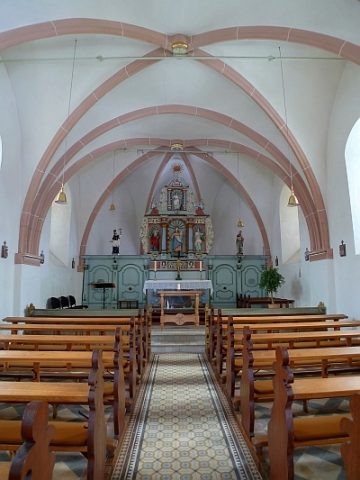
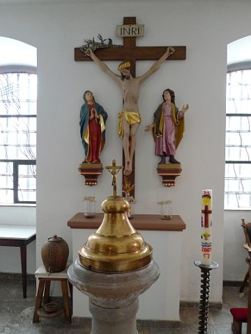
Sankt Katharina - Ausstattung
Katholische Filialkirche
Religious Buildings Catholic Churches ID 18304
-
Trigonometrisches Signal Auf den Bänken
Markers and Monuments Surveying ID 51370
-
Trinkpützfeld
Field Names ID 39583
-
Vermutete römische Siedlung
Settlements Settlements ID 12763
-
Vermutetes Höhenheiligtum
Religious Buildings Temples, Sanctuaries ID 12993
-
Villa Rustica
Settlements Settlements ID 11950
-
Vor Gräfenrath
Field Names ID 43727
-
Vor Ruder auf der Dell
Field Names ID 45709
-
Wegekreuz
Religious Buildings Wayside Shrines and Stations of the Cross ID 25046
-
Wegekreuz
Religious Buildings Wayside Shrines and Stations of the Cross ID 25047
-
Wegekreuz
Religious Buildings Wayside Shrines and Stations of the Cross ID 25048
-
Wegekreuz
Religious Buildings Wayside Shrines and Stations of the Cross ID 30119
-
Wegekreuz
Religious Buildings Wayside Shrines and Stations of the Cross ID 30120
-
Wohnhaus
Residential and Farm Buildings Town Houses and Commercial Buildings ID 16441
-
Auf Lanterspütz
Field Names ID 39577
-
Auf der Breitwies
Field Names ID 37114
-
Auf der Lehmkaul
Field Names ID 35946
-
Aussichtspunkt am Hönselberg
Viewpoints ID 40933
-
Bauernhaus
Residential and Farm Buildings Farmhouses and Farm Buildings ID 16444
-
Bauernhaus
Residential and Farm Buildings Farmhouses and Farm Buildings ID 23087
-
Bauernhof in Winkelhofform
Residential and Farm Buildings Farmhouses and Farm Buildings ID 16445
-
Der Dreistriesch
Field Names ID 29502
-
Ehem. Prämonstratenserinnenkloster
Religious Buildings Monastic Complexes ID 4060
-
Ehem. Prämonstratenserinnenkloster - Ausstattung
Religious Buildings Monastic Complexes ID 18087
-
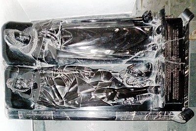
Ehem. Prämonstratenserinnenkloster - Hochgrab
Religious Buildings Burial Sites ID 4052
-
Ehem. Prämonstratenserinnenkloster - Kreuzweg
Religious Buildings Monastic Complexes ID 18086