Deserted Settlements · Neoclassicism
Rodungssiedlung Hohn
Wüstung


© GeoBasis-DE / LVermGeoRP, dl-de/by-2-0
There is no picture of this object yet. Do you have a photo that you would like to make available to the Kulturdatenbank? Submit a picture
Description
This description is only available in German.
Translate with Google opens this page in Google Translate (external service)
Vermutete Rodungssiedlung. 1809 / 10 verzeichnet die Tranchot-Karte an dieser Stelle das Hohner Kreuz. Es steht an der Kreuzung der Straßen Dollendorf-Berndorf und Wiesbaum-Flesten. [1]
Classification
- Subject area
- Archaeological Monuments
- Category
- Settlements
- Object type
- Deserted Settlements
- Date
- 1809-10
- Period
- Neoclassicism
Location
- District
- Vulkaneifel
- Collective municipality
- Gerolstein
- Municipality
- Üxheim
- Locality / location
- Leudersdorf
- Field name
- Im Tiefholz
- Coordinates
- WGS 84: 50.332290, 6.701647 (Position: exact) WGS 84: 50° 19′ 56.2″ N, 6° 42′ 05.9″ E UTM 32 (ETRS89): E 336430 · N 5578103
Sources
Data sources
- [1] Janssen, W.: Studien zur Wüstungsfrage im fränkischen Altsiedelland zwischen Rhein, Mosel und Eifelnordrand. 2 Bände. Text u. Katalog, 1975.
On the internet
Last edited: 19 Aug 2005 Object ID: 957
https://kulturdb.de/en/objekt/957-uexheim-rodungssiedlung-hohn
Nearby
The nearest objects
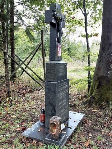 790 m
Wayside Shrines and Stations of the Cross
Wegekreuz
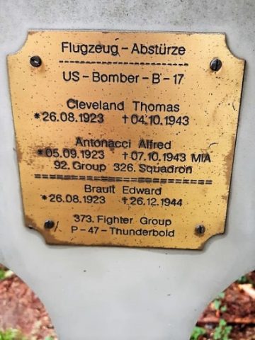 860 m
Monuments
Gedenkkreuz
Wayside Shrines and Stations of the Cross
Wegekreuz
Burial Mounds
Grabhügelgruppe
Field Names
Auf Rothenseifen
Cremation Graves
Römisches Brandgrab
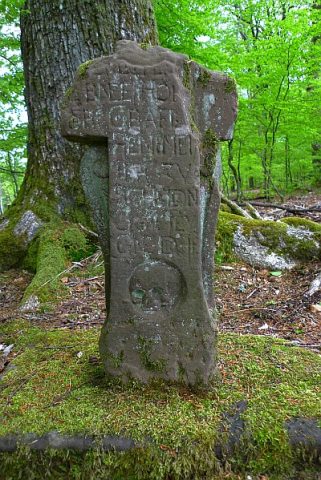 1.6 km
Wayside Shrines and Stations of the Cross
Sellertkreuz
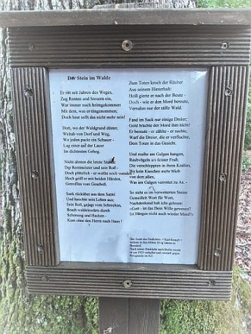 1.6 km
Wayside Shrines and Stations of the Cross