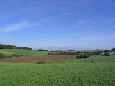
Vulkaneifel
7,758 heritage sites in Vulkaneifel in the Kulturdatenbank Region Trier.
The map shows all 7,758 results.
-
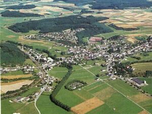
Ortsgeschichte Gillenfeld
Place Names / Local History ID 1467
-
Ortswüstung Ersfeld
Settlements Deserted Settlements ID 780
-
Ortswüstung Herschhausen
Settlements Deserted Settlements ID 781
-
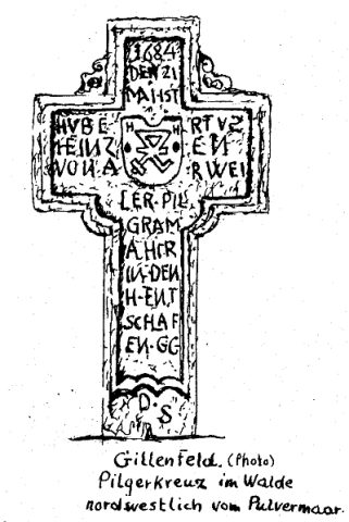
Pilgerweg Köln - Trier
Markers and Monuments Pilgrimage Routes ID 18760
-
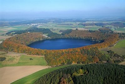
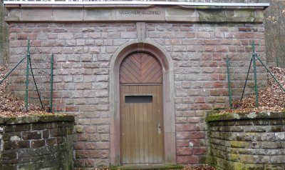
Pumpwerk am Pulvermaar
Economy, Trade and Transport Catering, Inns and Hotels ID 22889
-
Römische Fundstreuung
Settlements Find Sites ID 12282
-
Römische Oberflächenfunde
Settlements Find Sites ID 12281
-
Römische Siedlung
Settlements Settlements ID 12285
-
Römische Siedlungsstelle
Settlements Settlements ID 12287
-
Römische Siedlungsstelle
Settlements Settlements ID 12288
-
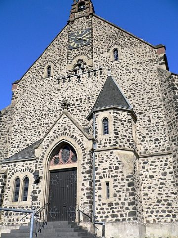
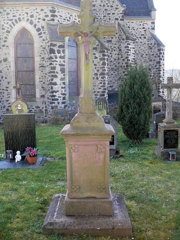
Sankt Andreas - Friedhof
Katholische Pfarrkirche
Parks, Gardens and Cemeteries Christian Cemeteries ID 23011
-
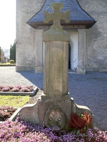
Sankt Andreas - Gefallenenkreuz der Feuerwehr
Katholische Pfarrkirche
Markers and Monuments War Memorials ID 23012
-
Sankt Andreas - Grabmal Familie Maas
Katholische Pfarrkirche
Religious Buildings Burial Sites ID 53694
-
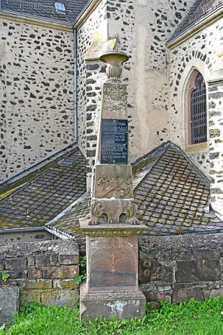
Sankt Andreas - Grabmal Friedrich Josef Zillgen
Katholische Pfarrkirche
Religious Buildings Burial Sites ID 23015
-
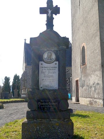
Sankt Andreas - Grabmal Karl Gustav Zillgen
Katholische Pfarrkirche
Religious Buildings Burial Sites ID 23016
-
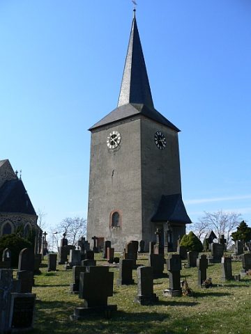
Sankt Andreas - Kirchturm aus dem 14. Jahrhundert
Kriegergedächtniskapelle
Religious Buildings Catholic Churches ID 23010
-
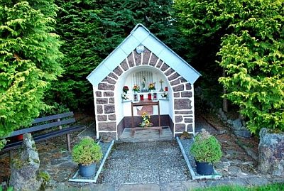
Sankt-Josef-Heiligenhäuschen
Religious Buildings Wayside Shrine Houses ID 19062
-
Seidenklopp
Field Names ID 38285
-
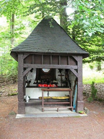
Steipen-Heiligenhäuschen am Holzmaar (1)
Religious Buildings Wayside Shrine Houses ID 18759
-
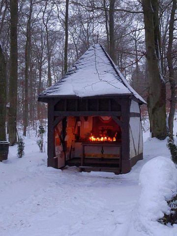
Steipen-Heiligenhäuschen am Holzmaar (2)
Religious Buildings Wayside Shrine Houses ID 19865
-
Streuung römischer Oberflächenfunde
Settlements Find Sites ID 12822
-
Trierer Haus
Residential and Farm Buildings Farmhouses and Farm Buildings ID 16525
-
Unten in Bannwerath
Field Names ID 43886
-
Unter der Trift
Field Names ID 28360
-
Vorn in Etzerath
Field Names ID 43791
-
Vulkan Hitsche Maar oder Hetschenmärchen
Das kleinste Eifelmaar
Geological Features Volcanoes ID 30239
-
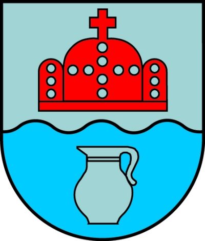
Wappen der Gemeinde Gillenfeld
Coats of Arms ID 601
-
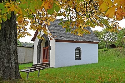
Wegekapelle Heilige Familie
Religious Buildings Chapels ID 53691
-
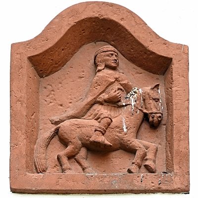
Wegekapelle Heilige Familie - Sankt-Martin-Relief
Religious Buildings Chapels ID 26317
-
Wegekreuz
Religious Buildings Wayside Shrines and Stations of the Cross ID 26307
-
Wegekreuz
Religious Buildings Wayside Shrines and Stations of the Cross ID 26316
-
Wegekreuz
Religious Buildings Wayside Shrines and Stations of the Cross ID 26318
-
Wegekreuz
Religious Buildings Wayside Shrines and Stations of the Cross ID 26321
-
Wegekreuz
Religious Buildings Wayside Shrines and Stations of the Cross ID 30304
-
Wegekreuz
Religious Buildings Wayside Shrines and Stations of the Cross ID 30305
-
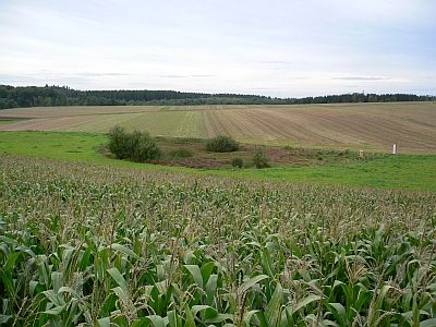
Wüstung
Settlements Deserted Settlements ID 783
-
Wüstung Etzerath
Settlements Deserted Settlements ID 782
-
Im Rott
Field Names ID 42014
-
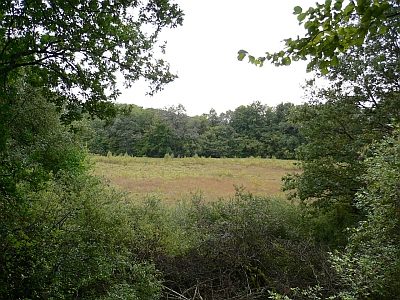
Rott (Rott Maar)
Maars Dry Maars ID 6708
-
Vulkan Rott
Geological Features Volcanoes ID 30138