Dry Maars · Undated
Rott (Rott Maar)


Description
This description is only available in German.
Translate with Google opens this page in Google Translate (external service)
Vermutetes Trockenmaar
Classification
- Subject area
- Natural Features
- Category
- Maars
- Object type
- Dry Maars
- Date
- Undatiert
- Period
- Undated
Location
- District
- Vulkaneifel
- Collective municipality
- Daun
- Municipality
- Gillenfeld
- Locality / location
- Hof Römerberg
- Field name
- Im Rott
- Coordinates
- WGS 84: 50.126577, 6.933091 (Position: exact) WGS 84: 50° 07′ 35.7″ N, 6° 55′ 59.1″ E UTM 32 (ETRS89): E 352266 · N 5554750
Sources
Data sources
- Zeichnung 1:100.000 von Ing. Bernard Jakobs, Trier. Mürmes - Ein Moor in der Vulkaneifel und seine Vogelwelt, in: Landskundliche Vierteljahresblätter 1961, Heft 2.
On the internet
Picture credits
Last edited: 19 Dec 2010 Object ID: 6708
https://kulturdb.de/en/objekt/6708-gillenfeld-rott-rott-maar
Nearby
The nearest objects
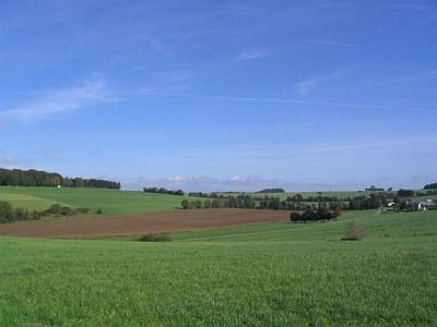 30 m
Volcanoes
Vulkan Rott
No picture
130 m
Field Names
Im Rott
No picture
170 m
Field Names
Im Rott
No picture
200 m
Field Names
Jenseits Rott zum Römerberg
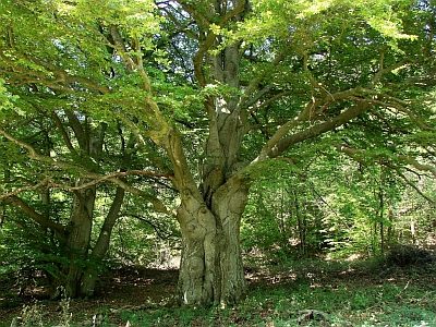 350 m
Beeches
Hudebuche
370 m
Beeches
Hudebuche
No picture
450 m
Extraction and Processing of Raw Materials
Mühlsteinbruch am Römerberg
No picture
490 m
Field Names