Wayside Shrine Houses · Undated
Heiligenhäuschen


© GeoBasis-DE / LVermGeoRP, dl-de/by-2-0
There is no picture of this object yet. Do you have a photo that you would like to make available to the Kulturdatenbank? Submit a picture
Description
This description is only available in German.
Translate with Google opens this page in Google Translate (external service)
Heiligenhäuschen am Bürgerhaus (Familie Honadel). Dorfmitte, Kreisstraße 21 Richtung Wollmerath, auf der gegenüberliegenden Seite des Bürgerhauses. [1]
Classification
- Subject area
- Architectural and Art Monuments
- Category
- Religious Buildings
- Object type
- Wayside Shrine Houses
- Date
- Undatiert
- Period
- Undated
Location
- District
- Vulkaneifel
- Collective municipality
- Daun
- Municipality
- Demerath
- Locality / location
- Unterdorf
- Street
- Talstraße
- Field name
- Ortslage
- Coordinates
- WGS 84: 50.172758, 6.942904 (Position: exact) WGS 84: 50° 10′ 21.9″ N, 6° 56′ 34.5″ E UTM 32 (ETRS89): E 353109 · N 5559865
Sources
Data sources
- [1] Internetseite der Ortsgemeinde Demerath / Vulkaneifel. http://www.demerath-eifel.de/?Rpage=kultur/?Rpage=
On the internet
Last edited: 24 Jun 2005 Object ID: 10001
https://kulturdb.de/en/objekt/10001-demerath-heiligenhaeuschen
Nearby
The nearest objects
Field Names
Im Wittumpesch
Field Names
Aufm Wittumpesch
Farmhouses and Farm Buildings
Fachwerkhaus
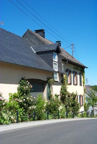 140 m
Place Names / Local History
Erste Erwähnung als Diemunderode
Wayside Shrine Houses
Heiligenhäuschen
 200 m
Beeches
Alte Buche
Wayside Shrine Houses
Heiligenhäuschen
Field Names